Pulianthope, Chennai
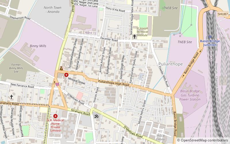
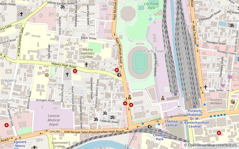
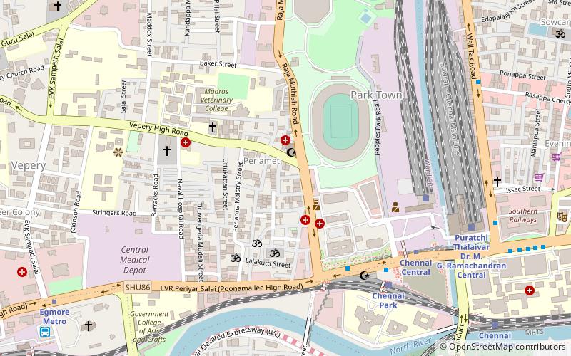
Map
Facts and practical information
Pulianthope was initially known as "Medicine Warehouse" for Englishmen, so it was called as "Marunthukedangu" and now it has changed to Pulianthope. From the days of Englishmen this place was very developed area in North Chennai. Also, was surrounded with "Binny Mills" which was the biggest garment export factory, Basin bridge railway station, Chennai's biggest cattle slaughter house and meat supplier hub called "Aadudhotti". ()
Coordinates: 13°5'59"N, 80°15'51"E
Address
PulianthopeChennai
ContactAdd
Social media
Add
Day trips
Pulianthope – popular in the area (distance from the attraction)
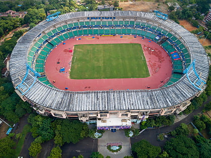
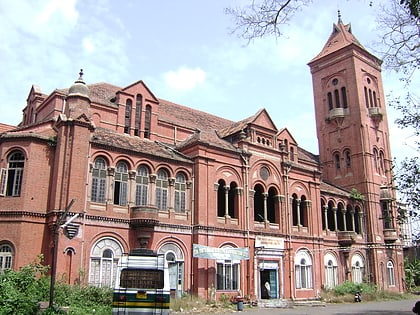
Nearby attractions include: Abhirami Mega Mall, Jawaharlal Nehru Stadium, Victoria Public Hall, Ekambareswarar Temple.
Frequently Asked Questions (FAQ)
Which popular attractions are close to Pulianthope?
Nearby attractions include Pattalam, Chennai (10 min walk), Choolai, Chennai (20 min walk), Vyasarpadi, Chennai (20 min walk), Salt Cotaurs, Chennai (21 min walk).
How to get to Pulianthope by public transport?
The nearest stations to Pulianthope:
Train
Bus
Metro
Train
- Basin Bridge Junction (13 min walk)
- Vyasarpadi Jeeva (21 min walk)
Bus
- Vallalar Nagar MTC Depot (23 min walk)
- Perambur MTC Terminus (32 min walk)
Metro
- Washermanpet • Lines: 1 (33 min walk)

