Amberpet, Hyderabad
Map
Map

Facts and practical information
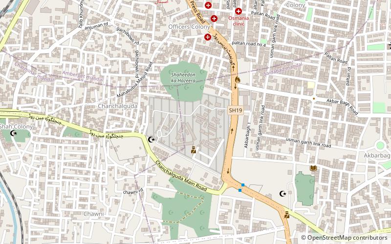
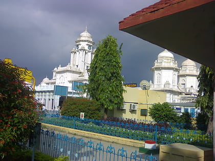
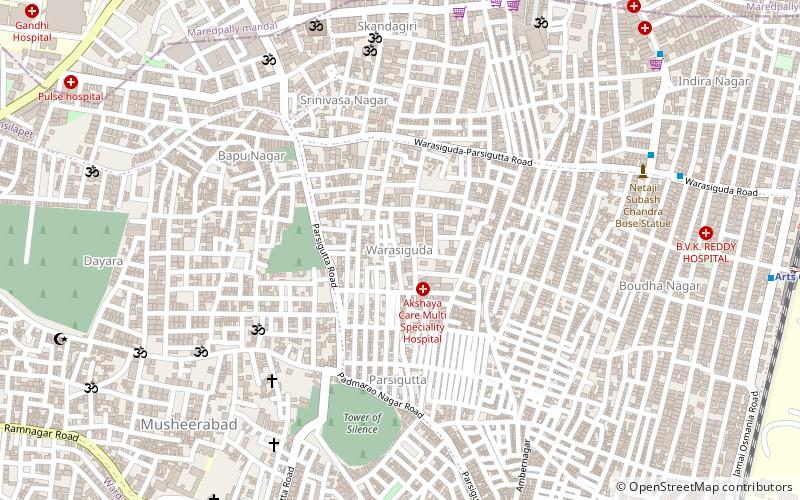
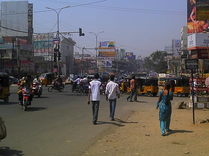
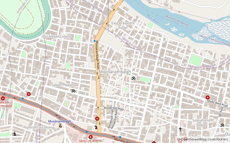
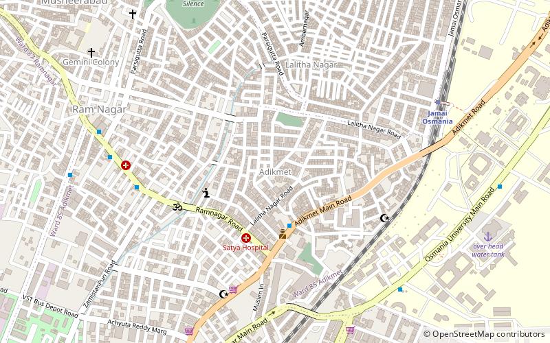
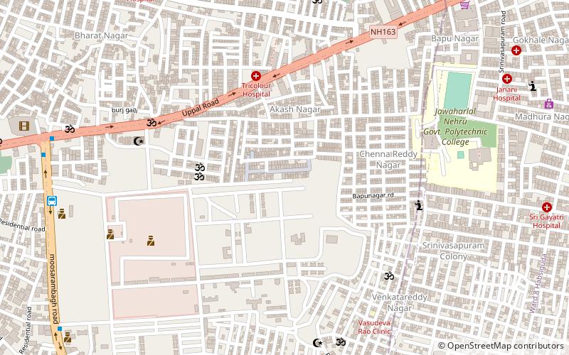
Amberpet is one of the oldest suburbs of Hyderabad, India. Amberpet lies adjacent to the famous Osmania University. It is also a Mandal in Hyderabad District. Its area stretches from Kachiguda to Ramanthapur in the East, and from 6 NO TO MALAKPET in the South. One of the oldest area of, Hyderabad, India. ()
Coordinates: 17°23'27"N, 78°31'25"E
Address
Erstwhile Circle-III (Amberpet)Hyderabad
ContactAdd
Social media
Add
Day trips
Amberpet – popular in the area (distance from the attraction)
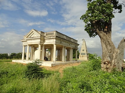
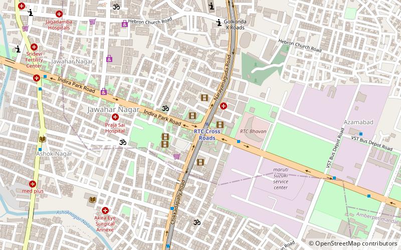
Nearby attractions include: Raymond's Tomb, Sai Baba Temple, Chaderghat, Rajiv Gandhi International Cricket Stadium.
Frequently Asked Questions (FAQ)
How to get to Amberpet by public transport?
The nearest stations to Amberpet:
Bus
Train
Bus
- amberpet (12 min walk)
Train
- Vidyanagar (29 min walk)

