Nangloi Jat, Delhi
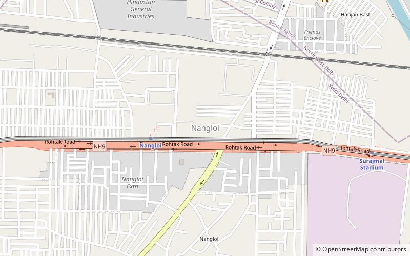
Map
Facts and practical information
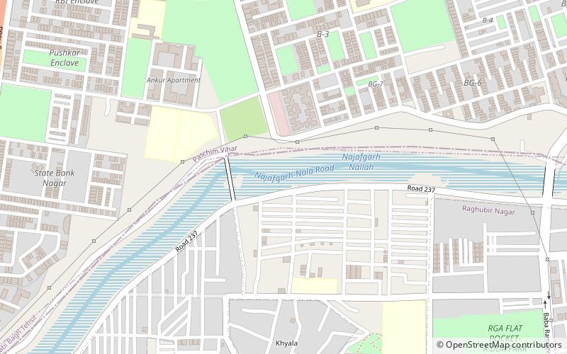
Nangloi Jat or popularly known as "Nangloi" is a locality in West district in the Union Territory of Delhi in India, surrounded by Paschim Vihar, Delhi Outer Ring road, Najafgarh ()
Address
West Delhi (Nangloi)Delhi
ContactAdd
Social media
Add
Day trips
Nangloi Jat – popular in the area (distance from the attraction)
Nearby attractions include: Mini Qutub Minar, Metro Walk, Pitampura TV Tower, Vivekananda Institute of Professional Studies.
Frequently Asked Questions (FAQ)
How to get to Nangloi Jat by public transport?
The nearest stations to Nangloi Jat:
Metro
Train
Bus
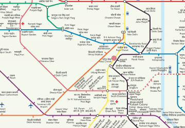
Metro
- Nangloi • Lines: Green Line (4 min walk)
- Surajmal Stadium • Lines: Green Line (11 min walk)
Train
- Nangloi (17 min walk)
Bus
- Delhi Transport Corporation (18 min walk)
 Metro
Metro
