Delhi/Western Delhi, Delhi
Map
Facts and practical information
West Delhi is one of the 11 administrative districts of the National Capital Territory of Delhi in India. Administratively, the district is divided into three subdivisions, Patel Nagar, Rajouri Garden and Punjabi Bagh. ()
Address
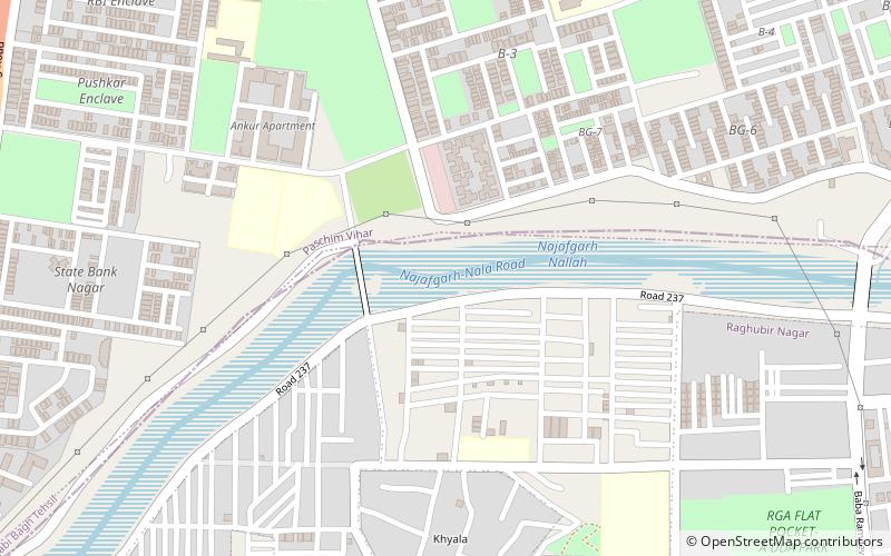
West Delhi (Khyala)Delhi
ContactAdd
Social media
Add
Getting there by public transportation
Public transportation stops near this location
- Metro
- Bus
 Metro
Metro
- Calculate routeSunder Apartment 16 min walk
- Calculate routeMeera Bagh 16 min walk
- Calculate routeKeshavpur Depot 25 min walk
- Calculate routeMajor Bhupinder Singh Nagar 35 min walk
- Calculate routePaschim Vihar East 35 min walk
- Calculate routeTagore Garden 36 min walk
- Calculate routeMadipur 40 min walk
Maps Metro
Metro
MetroDay trips


Frequently Asked Questions (FAQ)
How to get to Delhi/Western Delhi by public transport?
The nearest stations to Delhi/Western Delhi:
Bus
Metro
Bus
- Sunder Apartment • Lines: (+) Oms (16 min walk)
- Meera Bagh • Lines: (+) Oms (16 min walk)
Metro
- Paschim Vihar East • Lines: Green Line (35 min walk)
- Tagore Garden • Lines: Blue Line (36 min walk)