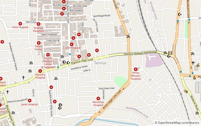
Tennur, Tiruchirappalli
Map
Facts and practical information
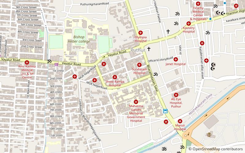
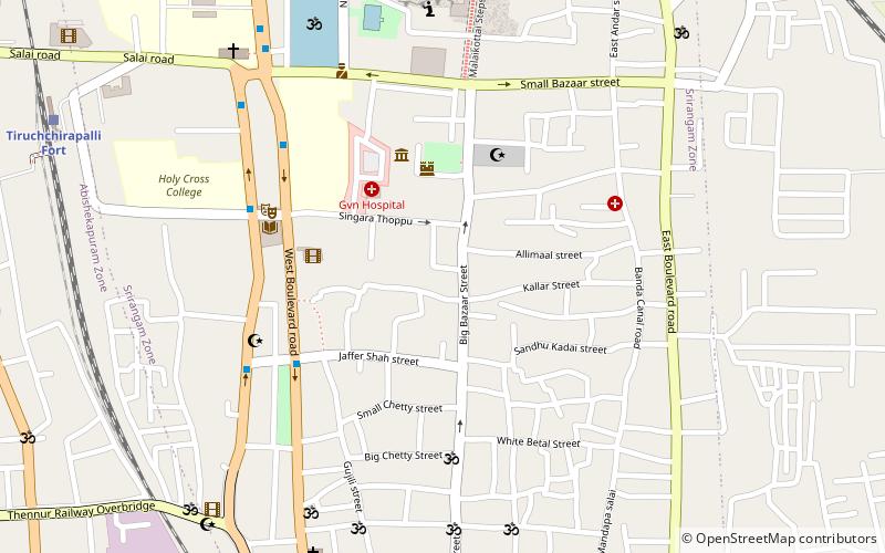
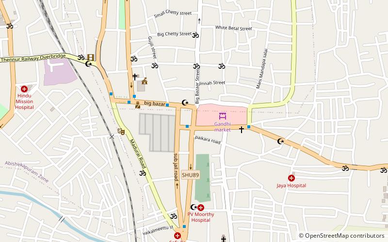
Tennur is one of the important business localities in the city of Tiruchirappalli in Tamil Nadu, India. It is situated close to the Mahatma Gandhi market and forms a part of the Abhishekapuram zone of the Tiruchirappalli Municipal Corporation. The Tiruchirappalli branch of the Dakshin Bharat Hindi Prachar Sabha is located here. ()
Coordinates: 10°49'3"N, 78°41'10"E
Address
Tiruchirappalli
ContactAdd
Social media
Add
Getting there by public transportation
Public transportation stops near this location
- Bus
- Train
 Bus
Bus
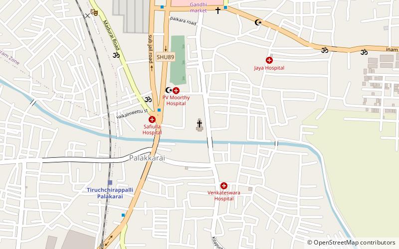
- Calculate routeTiruchchirapalli Fort 16 min walk
- Calculate routeTiruchchirappalli Palakarai 22 min walk
- Calculate routeTiruchchirappalli Town 36 min walk
- Calculate routebus stop 17 min walk
- Calculate routeChatram bus stand 28 min walk
Day trips


Frequently Asked Questions (FAQ)
Which popular attractions are close to Tennur?
Nearby attractions include Holy Cross College, Tiruchirappalli (17 min walk), Beema Nagar, Tiruchirappalli (17 min walk), World War I Memorial, Tiruchirappalli (19 min walk), Thillai Nagar, Tiruchirappalli (19 min walk).
How to get to Tennur by public transport?
The nearest stations to Tennur:
Train
Bus
Train
- Tiruchchirapalli Fort (16 min walk)
- Tiruchchirappalli Palakarai (22 min walk)
Bus
- bus stop (17 min walk)
- Chatram bus stand (28 min walk)