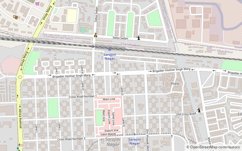
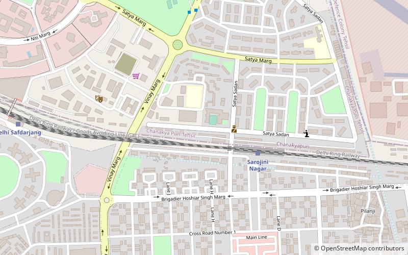
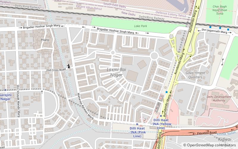
Sarojini Nagar, Delhi
Map
Facts and practical information
Sarojini Nagar is a neighbourhood in South West Delhi district of Delhi, India. It was one of the sites of the 29 October 2005 Delhi bombings. It is close to Safdarjung Airport, starting 2010, it is serviced by the Sarojini Nagar on the newly constructed underground station on the Pink Line of Delhi Metro. ()
Coordinates: 28°34'46"N, 77°11'50"E
Address
New Delhi (N.D. Charge 8)Delhi
ContactAdd
Social media
Add
Getting there by public transportation
Public transportation stops near this location
- Metro
- Bus
- Train
 Metro
Metro
- Calculate routeSarojini Nagar 4 min walk
- Calculate routeDelhi Safdarjang 18 min walk
- Calculate routeSarojini Nagar 7 min walk
- Calculate routeIna 21 min walk
- Calculate routeBhikaji Cama Place 22 min walk
- Calculate routeM-Block 12 min walk
- Calculate routeVinay Marg 14 min walk
- Calculate routePalika Club 14 min walk
- Calculate routeSarojini Nagar Depot 15 min walk
Maps Metro
Metro
MetroDay trips


Frequently Asked Questions (FAQ)
Which popular attractions are close to Sarojini Nagar?
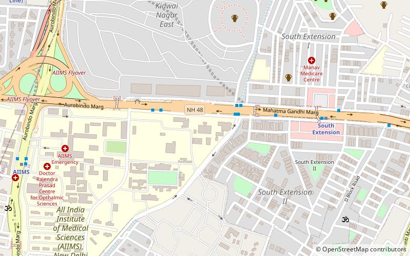
Nearby attractions include Netaji Nagar, Delhi (7 min walk), Laxmibai Nagar, Delhi (15 min walk), Nehru Park, Delhi (21 min walk), Moti Bagh, Delhi (23 min walk).
How to get to Sarojini Nagar by public transport?
The nearest stations to Sarojini Nagar:
Train
Metro
Bus
Train
- Sarojini Nagar (4 min walk)
- Delhi Safdarjang (18 min walk)
Metro
- Sarojini Nagar • Lines: Pink Line (7 min walk)
- Ina • Lines: Pink Line, Yellow Line (21 min walk)
Bus
- M-Block • Lines: 544, 610, 615 (12 min walk)
- Vinay Marg • Lines: 610 (14 min walk)