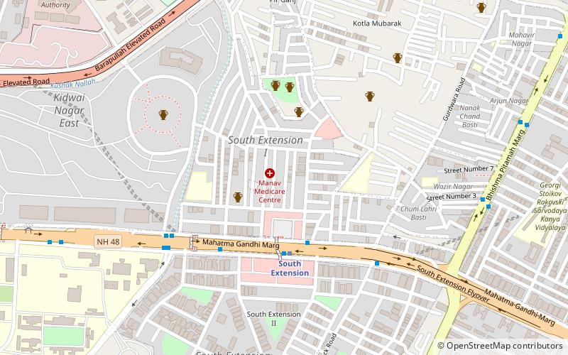
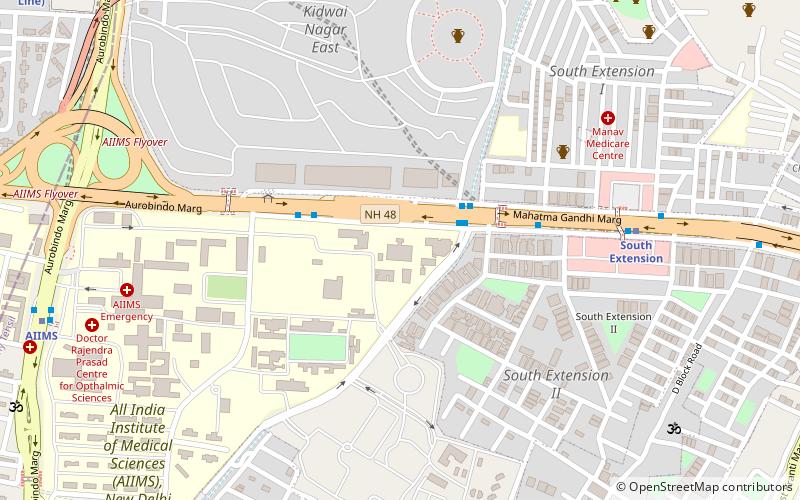
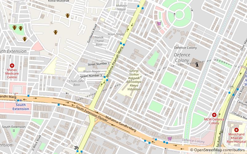
South Extension, Delhi
Map
Facts and practical information
South Extension is a neighbourhood of South Delhi, India. It is also described as a premier shopping destination. Situated on the Ring Road, Delhi, just east of All India Institute of Medical Sciences. The colony is divided into two parts - South Extension I and South Extension II. It has a population of about 50,000 people in South Extension Part 1 and 27,000 in South Extension Part 2. ()
Coordinates: 28°34'14"N, 77°13'13"E
Address
South Delhi (Sewa Nagar)Delhi
ContactAdd
Social media
Add
Getting there by public transportation
Public transportation stops near this location
- Metro
- Bus
- Train
 Metro
Metro
- Calculate routeSouth Extension Kotla Petrol Pump 5 min walk
- Calculate routeSouth Extension 2 6 min walk
- Calculate routeSouth Extension 4 min walk
- Calculate routeIna 21 min walk
- Calculate routeAll India Institute of Medical Sciences 21 min walk
- Calculate routeLodhi Colony 18 min walk
- Calculate routeSewa Nagar 19 min walk
Maps Metro
Metro
MetroDay trips


Frequently Asked Questions (FAQ)
Which popular attractions are close to South Extension?
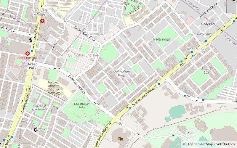
Nearby attractions include National Medical Library, Delhi (9 min walk), St. Luke's Church, Delhi (12 min walk), Thyagaraj Sports Complex, Delhi (13 min walk), Moth ki Mosque, Delhi (15 min walk).
How to get to South Extension by public transport?
The nearest stations to South Extension:
Bus
Metro
Train
Bus
- South Extension Kotla Petrol Pump • Lines: (-) Tms, (+) Tms, 323, 392, 400, 433, 442, 460, 479A, 507, 540, 540A, 543A, 543B, 544, 611, 623, 711, 724, 727, 743, 874, 984A (5 min walk)
- South Extension 2 • Lines: 323, 392, 540, 540A, 544, 623 (6 min walk)
Metro
- South Extension • Lines: Pink Line (4 min walk)
- Ina • Lines: Pink Line, Yellow Line (21 min walk)
Train
- Lodhi Colony (18 min walk)
- Sewa Nagar (19 min walk)