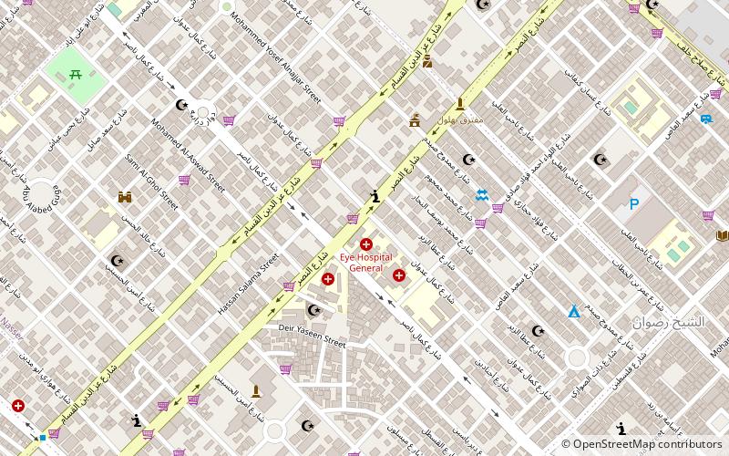
Nasser, Gaza City
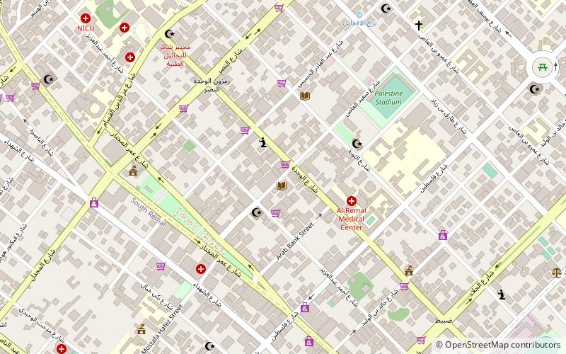
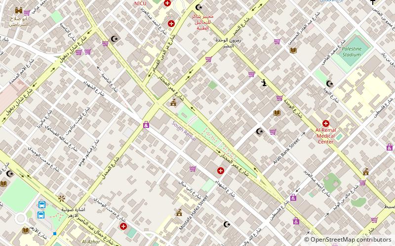
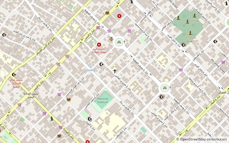
Map
Facts and practical information
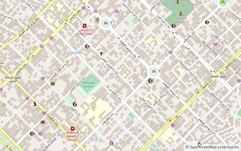
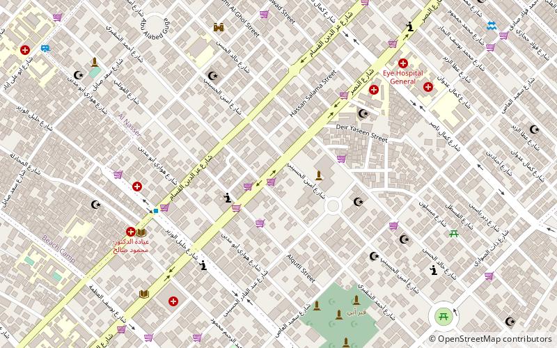
Nasser or Hayy al-Nasr is a district in western Gaza City, located adjacent to Rimal and northwest of al-Daraj. It was established in 1957 while the Gaza Strip was under Egyptian control to house the families of soldiers and local volunteers who fought against Israel in the 1948 Palestine War. It was named after the late Egyptian president Gamal Abdel Nasser. ()
Coordinates: 31°32'2"N, 34°27'35"E
Address
Gaza City
ContactAdd
Social media
Add
Day trips


Frequently Asked Questions (FAQ)
Which popular attractions are close to Nasser?
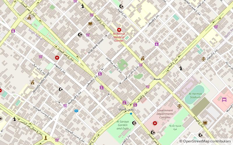
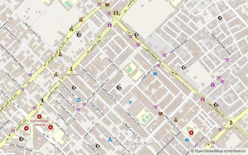
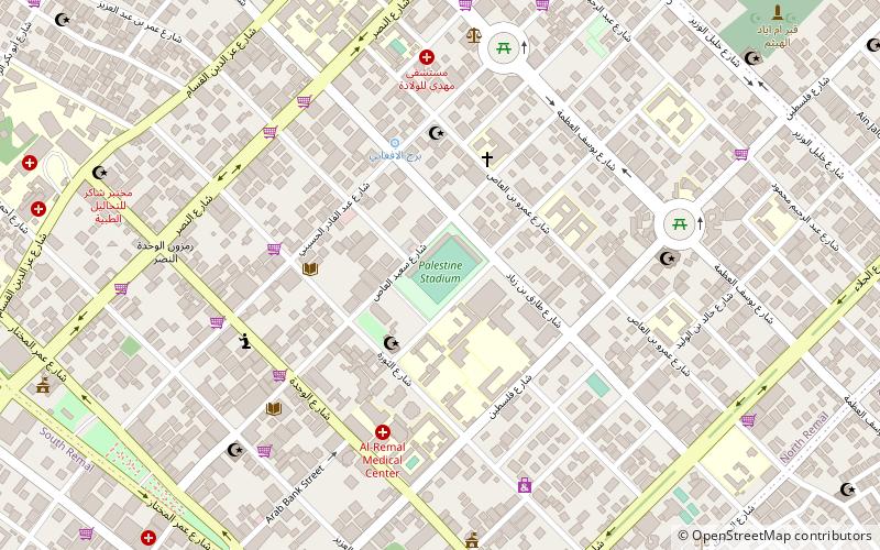
Nearby attractions include Rimal, Gaza City (9 min walk), Sheikh Radwan, Gaza City (10 min walk), Holy Family Church, Gaza Strip (21 min walk), Al-Shati Camp, Gaza City (22 min walk).