Fannaråki, Jotunheimen

Gallery (1)
Map
Map
Facts and practical information
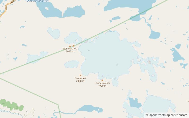
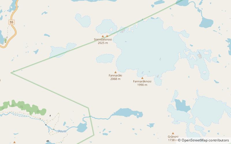
Fannaråki is a mountain in the municipality of Luster in Vestland county, Norway. The 2,068-metre tall mountain is located in the Jotunheimen National Park, just south of the lake Prestesteinsvatnet and the Sognefjellsvegen road. This mountain is located about 6 kilometres north of the Skagastølstindane mountains. ()
Address
Jotunheimen
ContactAdd
Social media
Add
Day trips