Fannaråkbreen, Jotunheimen

Map
Facts and practical information
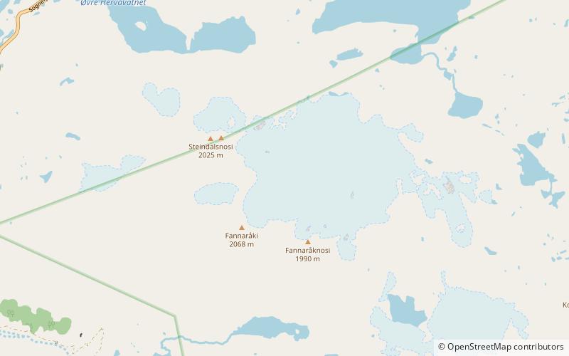
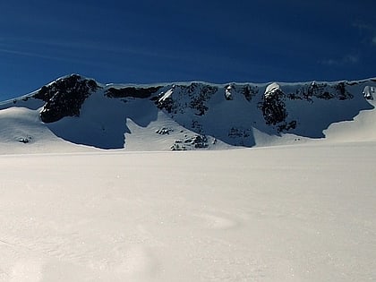
Fannaråkbreen is a glacier in the municipality of Luster in Vestland county, Norway. It covers an area of about 6.2-square-kilometre, and consists of three parts. The glacier covers the eastern and northern sides of the mountain of Fannaråki, and is located within the Jotunheimen National Park. ()
Address
Jotunheimen
ContactAdd
Social media
Add
Day trips
Fannaråkbreen – popular in the area (distance from the attraction)
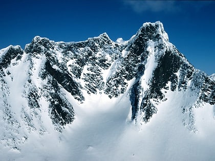
Nearby attractions include: Fannaråki, Vetle Skagastølstind, Midtre Skagastølstind, Sentraltind.


