Upłaziańska Kopka, Tatra National Park


Facts and practical information
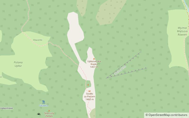
Upłazianska Kopka - a somewhat prominent hill in the long northwestern ridge of Ciemniak separating the Kościeliska Valley from the Miętusiej Valley in the Western Tatras. It has a height of 1457 m and is located in the lower part of this ridge, below the Piece. The ridge parts from the Uplazianska Kopka to the Piec are occupied by the grassy Vyšné Uplazianska Ráòò. In the Uplazianska Kopka massif there are four perches separating four valleys and gullies: Vyshranky Rift, Uplazianska Rift, Cow's Rift and Broad Rift. The longest of these perches and having importance for tourists is Adamica, through Uplazianski Wierszyk falling in the fork of Miętusie Potok and Koscieliska Potok.
Once the whole massif of Upłazianska Kopka was the pasture land of Hala Upłaz, and partly also of Hala Miętusiejska. The slopes between the Upłazianska Kopka and the Upłaz glade below were almost forestless and strongly eroded as a result of excessive grazing and herding of sheep. After the abolition of grazing the grassy and eroded areas gradually become overgrown with forest. It is located in the area of the Tatra National Park, but the economic felling of trees takes place here. In the past there were several paths in the Uplazianska Kopka massif, but after the grazing was stopped they became overgrown with forest and now the only road and path is a marked tourist path.
Tatra National Park
Upłaziańska Kopka – popular in the area (distance from the attraction)
Nearby attractions include: Kościeliska Valley, Piwniczka, Sowa, Kapliczka Zbójnicka.


