Trek Zone

Adamica, Tatra National Park
#81 among attractions in Tatra National Park

Nature, Natural attraction, Mountain
Adamica

Facts and practical information

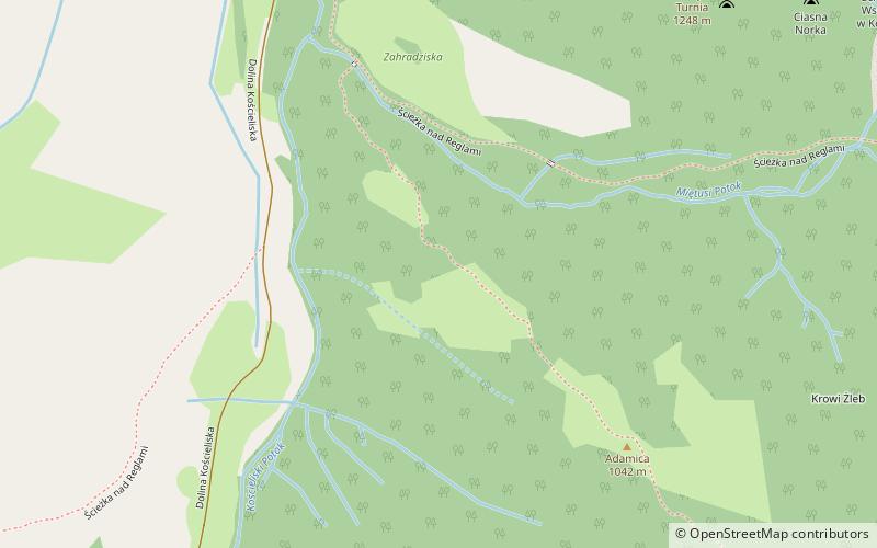
Adamica dialectically called Jadamica - a completely forested ridge ending the northwestern ridge of Ciemniak in the West Tatra Mountains. It descends from the top of Mt. Uplazianski Wierszyk in north-west direction to the fork of Koscieliska Creek and Mietuski Creek. North-eastern slopes descend to Cow Dyke Gulch and Mietusya Valley, the upper part of the south-western slopes to Uplaziansky Gulch.

Ridge of Adamica leads forest road from the Zahradziska clearing to the Upłaz clearing and popular tourist trail from the Kościeliska Valley to Czerwone Wierchy.

Coordinates: 49°15'36"N, 19°52'22"E
Address

Tatra National Park Poland

ContactAdd
Social media
Add
Day trips

Adamica – popular in the area (distance from the attraction)

Nearby attractions include: Kościeliska Valley, Piwniczka, Sowa, Kapliczka Zbójnicka.

  • koscieliska valley tatra national park0.5 miSW
  • piwniczka tatra national park location map
    1.5 miSE
  • sowa tatra national park0.9 miSW
  • kapliczka zbojnicka tatra national park~830 ftW
  • uplazianski wierszyk tatra national park~1740 ftSE
  • hruby regiel tatra national park0.9 miNE
  • zadnia kopka tatra national park0.6 miW
  • suchy wierch tatra national park1.2 miSW
  • piec tatra national park1 miSE
  • maly regiel tatra national park0.8 miN
  • konczysta turnia tatra national park0.4 miNE

Frequently Asked Questions (FAQ)

Which popular attractions are close to Adamica?

Nearby attractions include Kapliczka Zbójnicka, Tatra National Park (4 min walk), Upłaziański Wierszyk, Tatra National Park (9 min walk), Kończysta Turnia, Tatra National Park (10 min walk), Kościeliska Valley, Tatra National Park (13 min walk).

Where to next? Visit lesser poland Lesser Poland region page or discover the top tourist attractions in Poland.