Circumvalațiunii, Timișoara
Map
Facts and practical information
Circumvalațiunii is a district of Timișoara. Its name comes from Calea Circumvalațiunii, one of the city's most important roads, which crosses it and is so named because it surrounds the historic center and the former fortress. Circumvalațiunii is one of the most expensive residential areas in Timișoara. Most of the buildings are from the 1970s when 11,400 homes were built for about 40,000 residents. The location of the district was directly related to the proximity to the industrial platform developed north of the railway. ()
Coordinates: 45°45'55"N, 21°11'43"E
Address
Timișoara
ContactAdd
Social media
Add
Day trips
Circumvalațiunii – popular in the area (distance from the attraction)
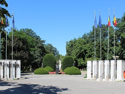
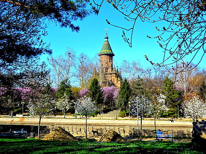
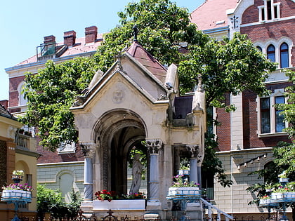
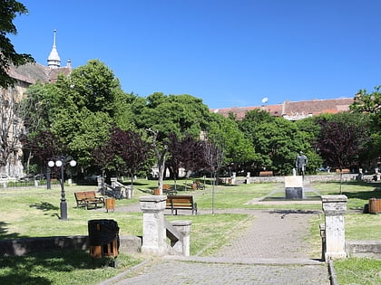
Nearby attractions include: Anton Scudier Central Park, Cathedral Park, Virgin Mary Monument, Piata Plevnei.
Frequently Asked Questions (FAQ)
Which popular attractions are close to Circumvalațiunii?
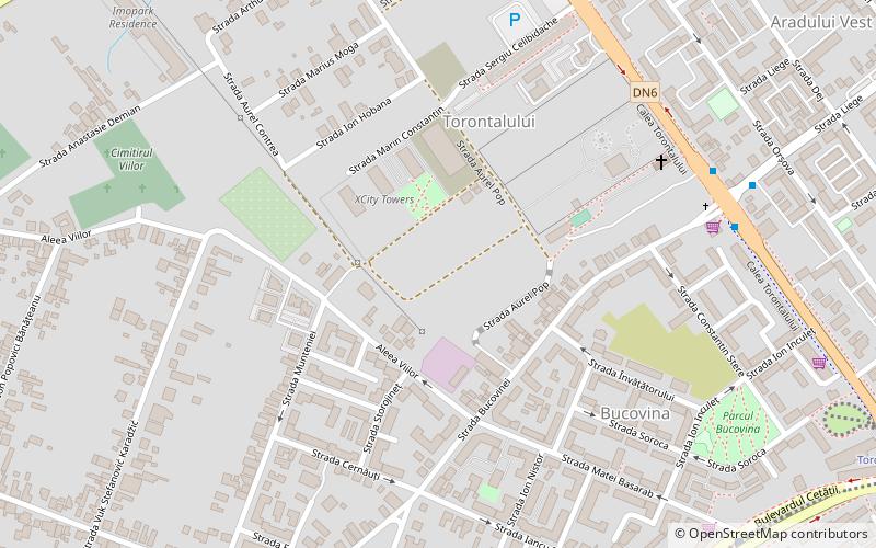
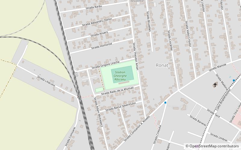
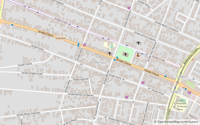
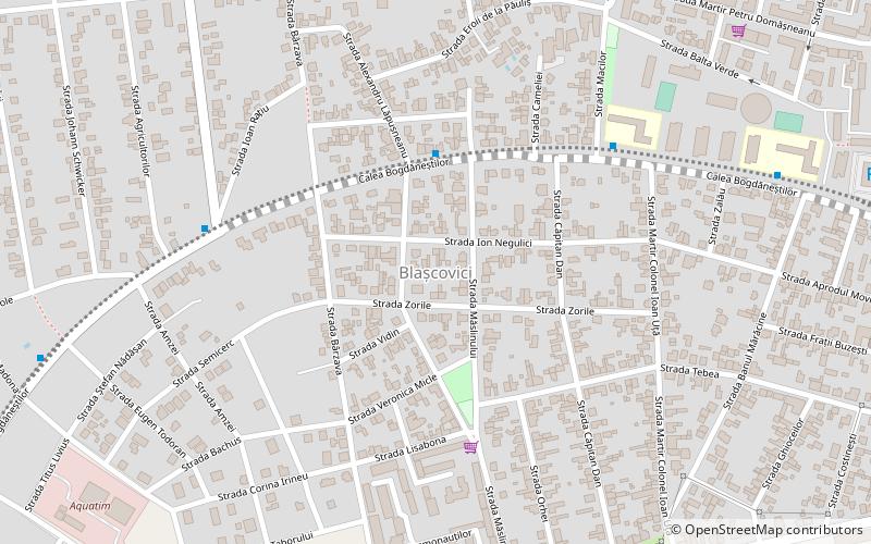
Nearby attractions include Mehala, Timișoara (12 min walk), Blașcovici, Timișoara (16 min walk), Torontalului, Timișoara (23 min walk).
How to get to Circumvalațiunii by public transport?
The nearest stations to Circumvalațiunii:
Bus
Tram
Train
Trolleybus
Bus
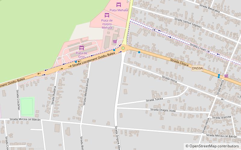
- Grigore Alexandrescu • Lines: 13 (3 min walk)
- Piața de Gros • Lines: 13 (5 min walk)
Tram
- Cetății • Lines: 4, 7 (20 min walk)
- Amforei • Lines: 4, 7 (22 min walk)
Train
- Ronaț Triaj Cabina 1 (27 min walk)
- Timișoara Nord (30 min walk)
Trolleybus
- Pop de Băsești • Lines: 11, 14, 18, M11, M14 (29 min walk)
- Calea Torontalului • Lines: 18 (30 min walk)
