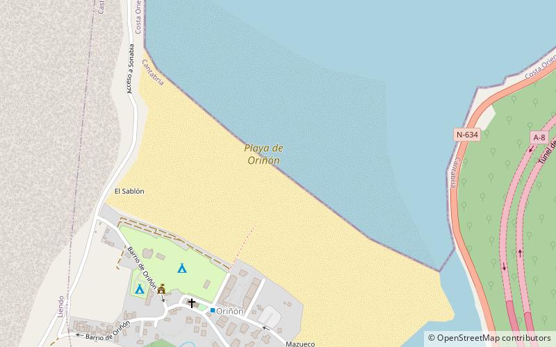
Playa de Oriñón
Map

Map

Facts and practical information
Oriñón beach is located in the small coastal town of Oriñón, in the municipality of Castro-Urdiales. It is enclosed between two rocks. The high tide and low tide are very pronounced, with a distance of more than 500 m between them. This beach is part of the Oriñón estuary, mouth of the river Agüera.
Coordinates: 43°24'1"N, 3°19'19"W
Location
Cantabria
ContactAdd
Social media
Add
Day trips
Playa de Oriñón – popular in the area (distance from the attraction)
Nearby attractions include: Playa de Ostende, Playa de Sonabia, Playa de San Julián, Iglesia de Santa María de la Asunción.


