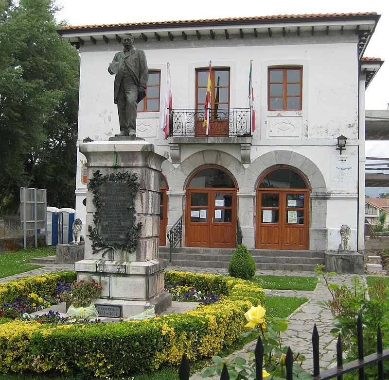
Liendo

Gallery (3)
Map
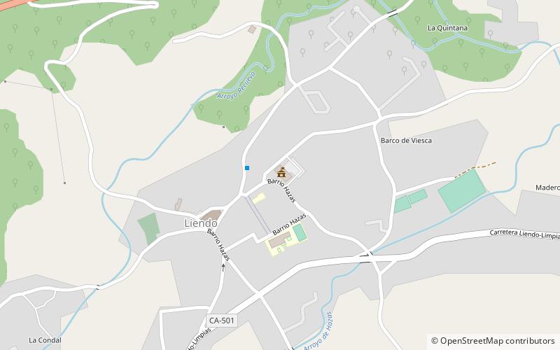
Map
Gallery
Facts and practical information
Liendo is a municipality located in the autonomous community of Cantabria, Spain. According to the 2007 census, the city had a population of 995 inhabitants. Its capital is Hazas. ()
Day trips


