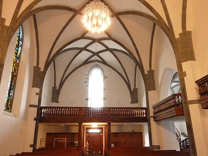
St.Luzikapelle, Chur
Map

Gallery
Facts and practical information
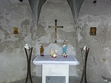
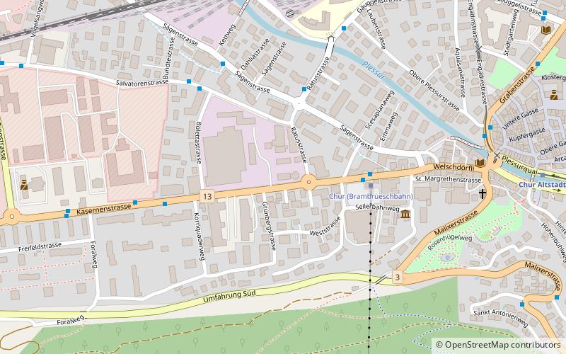
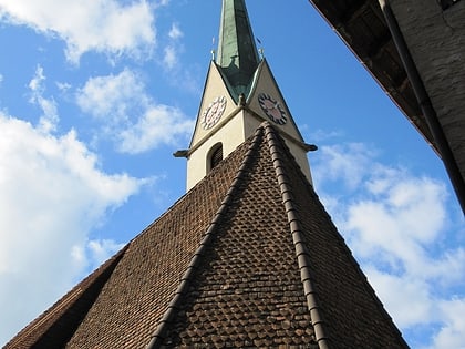
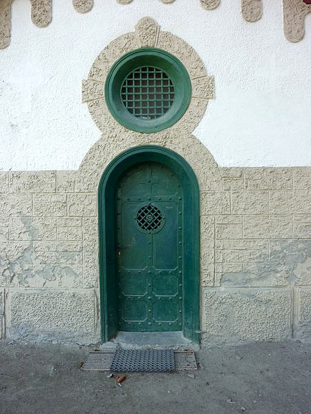
The St. Luzi Chapel is located at an altitude of about 960 meters, about a 45-minute walk from the farm, on a hiking trail above the Schanfiggerstrasse in a rocky grotto on the Mittenberg in the Grisons capital of Chur. It is under the patronage of St. Lucius of Chur and is owned by the St. Lucius Seminary of the Chur Theological College.
Coordinates: 46°50'47"N, 9°32'36"E
Address
Chur
ContactAdd
Social media
Add
Day trips
St.Luzikapelle – popular in the area (distance from the attraction)
Nearby attractions include: Cathedral of Saint Mary of the Assumption, Calanda Bräu, Rätisches Museum, Friedhof Daleu.
Frequently Asked Questions (FAQ)
Which popular attractions are close to St.Luzikapelle?
Nearby attractions include Theologische Hochschule Chur Bibliothek, Chur (8 min walk), Cathedral of Saint Mary of the Assumption, Chur (10 min walk), Kathedrale St. Mariä Himmelfahrt, Chur (10 min walk), Rätisches Museum, Chur (13 min walk).
How to get to St.Luzikapelle by public transport?
The nearest stations to St.Luzikapelle:
Bus
Train
Bus
- Krematorium • Lines: 9 (7 min walk)
- Turnhalle Sand • Lines: 9 (8 min walk)
Train
- Chur Altstadt (16 min walk)
- Chur (21 min walk)
