Baltschieder Hut
#631 among destinations in Switzerland
![Baltschieder Hut location map](https://tzmedia.b-cdn.net/media/images/static-maps/ch/46_395_7_88979.jpg)
Facts and practical information
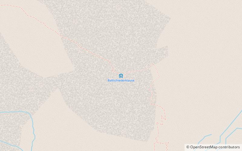
The Baltschieder Hut is a mountain hut of the Swiss Alpine Club, located north of Baltschieder in the canton of Valais. It lies at a height of 2,783 metres above sea level, at the end of the Baltschiedertal near the Bietschhorn. ()
ValaisSwitzerland
Baltschieder Hut plan & book
Unleash the traveler in you — discover the cheapest flight deals, find the perfect hotel or hostel nearby, and search for the best car rental prices. Travel at your own pace to discover new places and enjoy your journey.
Baltschieder Hut – popular in the area (distance from the attraction)
Nearby attractions include: Bietschhorn, Schwarzsee, Sparrhorn, Hohstock.
1.9 miW , Natural attraction, MountainBietschhorn, Lötschental
48 min walk • The Bietschhorn is a mountain in canton Wallis to the south of the Bernese Alps in Switzerland. The northeast and southern slopes of the mountain are part of the Jungfrau-Aletsch Protected Area listed as a UNESCO World Heritage Site that also includes the Jungfrau and the Aletsch Glacier.
3.6 miNWNatural attraction, LakeSchwarzsee, Lötschental
92 min walk • Schwarzsee is a lake at Blatten in the Lötschental valley in the canton of Valais, Switzerland.
4.5 miENature, Natural attraction, MountainSparrhorn
116 min walk • The Sparrhorn is a mountain of the Bernese Alps, located north of Belalp in the canton of Valais. It lies at the eastern end of the range located south of the Oberaletsch Glacier, west of the Aletsch Glacier. From Belalp a trail leads to its summit.
3.6 miENature, Natural attraction, MountainHohstock
93 min walk • The Hohstock is a mountain of the Bernese Alps, located north of Belalp in the Swiss canton of Valais. It lies on the range east of the Unterbächhorn, between the valley of the Oberaletsch Glacier and the cirque of Belalp.
3.2 miSWNature, Natural attraction, MountainWiwannihorn
82 min walk • The Wiwannihorn is a mountain of the Pennine Alps, located north of Ausserberg in the canton of Valais. It lies on the range between the Bietschtal and the Baltschiedertal, south of the Bietschhorn.
2 miNENature, Natural attraction, MountainNesthorn
52 min walk • The Nesthorn is a mountain in the Bernese Alps. It is located in the Swiss canton of Valais north of Brig. The mountain lies between the Oberaletsch Glacier on the north and east side and the Gredetschtal on the south side.
3.6 miNENatural featureOberaletsch Glacier, Swiss Alps Jungfrau-Aletsch
93 min walk • The Oberaletsch Glacier is a valley glacier on the south side of the Bernese Alps, in the canton of Valais. It had a length of 9 km with an average width of just under 1 km and an area of about 22 km² in 1973.
1.7 miNNature, Natural attraction, MountainBreithorn
43 min walk • The Breithorn is a mountain of the Bernese Alps, located east of Blatten in the canton of Valais. It lies between the Bietschhorn and the Schinhorn, on the range separating the Lötschental from the main Rhone valley.
4.8 miNENature, Natural attraction, MountainSchinhorn
122 min walk • The Schinhorn is a mountain of the Bernese Alps, located west of the Aletschhorn in the canton of Valais. It lies between the valleys of Lötschental and Oberaletsch.
3.9 miWNatural attraction, MountainWilerhorn, Lötschental
101 min walk • The Wilerhorn is a mountain of the Bernese Alps, overlooking Wiler and in the canton of Valais. It lies west of the Bietschhorn, on the range separating the Lötschental from the main Rhone valley.
3.6 miSNature, Natural attraction, MountainGärsthorn
91 min walk • The Gärsthorn is a mountain of the Bernese Alps, overlooking Mund in the canton of Valais. The main summit has an elevation of 2,964 metres, while the southern summit has an elevation of 2,927 metres.