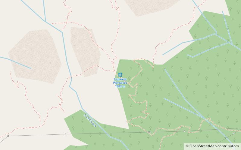
Capanna Piansecco
#2587 among destinations in Switzerland

Facts and practical information
The Piansecco hut is a mountain hut of the Bellinzona section of the Swiss Alpine Club.
Capanna Piansecco plan & book
Unleash the traveler in you — discover the cheapest flight deals, find the perfect hotel or hostel nearby, and search for the best car rental prices. Travel at your own pace to discover new places and enjoy your journey.
Capanna Piansecco – popular in the area (distance from the attraction)
Nearby attractions include: Cristallina Hut, Lago di Robièi, Lago Sfundau, Pizzo Rotondo.
 Alpine hut, Hiking
Cristallina Hut
78 min walk • Nestled in the heart of the Swiss Alps, the Cristallina Hut stands as a beacon for hikers and mountaineers traversing the rugged terrain of Switzerland. This alpine hut, situated at an elevation of approximately 2,575 meters, offers a serene escape amidst the majestic...
 Nature, Natural attraction, Lake
Lago di Robièi
102 min walk • Lago di Robièi is a lake in Ticino, Switzerland. The reservoir has a volume of 6,700,000 cubic metres and a surface area of 24 ha. It is located at an elevation of 1,940 metres near Lago dei Cavagnöö and Lago del Zött.
 Nature, Natural attraction, Lake
Lago Sfundau
85 min walk • Lago Sfundau is a lake in Ticino, Switzerland. Its surface area is 12.9 ha.
 Nature, Natural attraction, Mountain
Pizzo Rotondo
42 min walk • Pizzo Rotondo is a mountain in the Lepontine Alps. At 3,190 metres above sea level, it is the highest mountain lying on the border between the cantons of Ticino and Valais, as well as the highest summit of the Lepontine Alps lying between Nufenen Pass and Lukmanier Pass.
 Nature, Natural attraction, Mountain
Pizzo Lucendro
98 min walk • Pizzo Lucendro is a 2,963-metre-high mountain in the Lepontine Alps, located on the border between the cantons of Uri and Ticino. It overlooks St. Gotthard Pass and Lake Lucendro on its east side.
 Nature, Natural attraction, Mountain
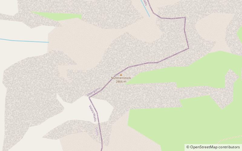
Nufenenstock
113 min walk • The Nufenestock is a mountain of the Lepontine Alps, located on the border between the Swiss cantons of Valais and Ticino. It lies between the Nufenen Pass and the Passo del Corno. On its south-west side it overlooks the lake of Gries.
 Nature, Natural attraction, Mountain
Chüebodenhorn
33 min walk • The Chüebodenhorn is a 3,070 metres high mountain in the Lepontine Alps, located on the border between the cantons of Valais and Ticino.
 Nature, Natural attraction, Mountain
Muttenhorn
107 min walk • The Muttenhorn is a mountain in the Lepontine Alps, located on the border between the cantons of Valais and Uri. At 3,099 metres above sea level, it overlooks the south side of Furka Pass.
 Nature, Natural attraction, Lake
Lago dei Cavagnöö
79 min walk • Lago dei Cavagnöö is a lake in the municipality of Bignasco, Ticino, Switzerland. Its surface area is 0.46 km2. The arch dam Cavagnoli has a height 111 m. It was completed in 1968.
 Nature, Natural attraction, Mountain
Cristallina
95 min walk • The Cristallina is a mountain of the Lepontine Alps, located in the Swiss canton of Ticino. It is situated between the valleys of Leventina, Val Bavona and Valle di Peccia the latter two belonging to the Valle Maggia. On the west side of the mountain is located the Passo Cristallina with the Cristallina Hut.
 Nature, Natural attraction, Mountain
Pizzo Gallina
96 min walk • Pizzo Gallina is a 3,061-metre-high mountain in the Lepontine Alps of Switzerland, overlooking the Nufenen Pass. Administratively, the summit is located on the border between the municipality of Obergoms, to the north-west and in the canton of Valais, and the municipality of Bedretto, to the south-east and in the canton of Ticino.


