Pizzo Rotondo
Map

Map

Facts and practical information
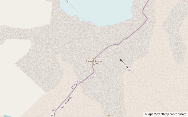
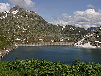
Pizzo Rotondo is a mountain in the Lepontine Alps. At 3,190 metres above sea level, it is the highest mountain lying on the border between the cantons of Ticino and Valais, as well as the highest summit of the Lepontine Alps lying between Nufenen Pass and Lukmanier Pass. ()
Alternative names: First ascent: 1869Elevation: 10472 ftProminence: 2520 ftCoordinates: 46°31'4"N, 8°27'58"E
Location
Valais
ContactAdd
Social media
Add
Day trips
Pizzo Rotondo – popular in the area (distance from the attraction)
Nearby attractions include: Cristallina Hut, Lago Sfundau, Lago di Lucendro, Pizzo Lucendro.


