Muttenhorn

Gallery (1)
Map
Map
Facts and practical information
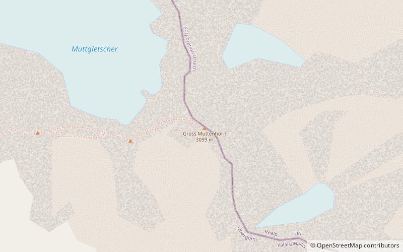
The Muttenhorn is a mountain in the Lepontine Alps, located on the border between the cantons of Valais and Uri. At 3,099 metres above sea level, it overlooks the south side of Furka Pass. A glacier named Muttgletscher lies over its north-western flanks, above 2,600 metres. ()
Location
Valais
ContactAdd
Social media
Add
Day trips


