Bützistock
Map

Map

Facts and practical information
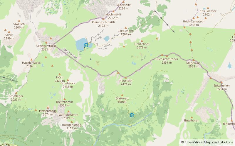
The Bützistock is a mountain of the Glarus Alps. It lies on the border between the cantons of Glarus and St. Gallen in Eastern Switzerland. The top is 2,496 m above sea level or 513 meters above the surrounding terrain. The width at the base is 18 km. ()
Elevation: 8189 ftProminence: 856 ftCoordinates: 47°1'40"N, 9°10'32"E
Location
Glarus
ContactAdd
Social media
Add
Day trips
Bützistock – popular in the area (distance from the attraction)
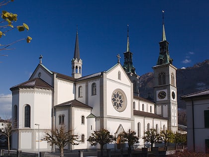
Nearby attractions include: Garichtisee, Stadtkirche Glarus, Glarus Süd, St. Hilarius Parish Church of Näfels.


