Schibengütsch, Entlebuch Biosphere
Map

Gallery

Facts and practical information
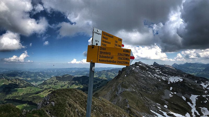
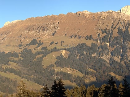
Schibengütsch is a mountain peak in the Swiss canton of Lucerne.
The Schibengütsch is 2037 m above sea level and forms the southwestern end of the Schrattenfluh mountain range. The Schrattenfluh is accessible from several sides by hiking trails. Starting points for hikes are, for example, from the southeast the Salwideli, from the southwest the Kemmeribodenbad and from the west the Marbachegg.
Address
Entlebuch Biosphere
ContactAdd
Social media
Add
Day trips
Schibengütsch – popular in the area (distance from the attraction)
Nearby attractions include: Brienzer Rothorn, Augstmatthorn, Schrattenfluh, Tannhorn.
Frequently Asked Questions (FAQ)
How to get to Schibengütsch by public transport?
The nearest stations to Schibengütsch:
Bus
Bus
- Kemmeriboden • Lines: 251 (26 min walk)
- Schwand • Lines: 251 (31 min walk)


