Wachthubel
#974 among destinations in Switzerland
![Wachthubel location map](https://tzmedia.b-cdn.net/media/images/static-maps/ch/46_8472_7_8698.jpg)
Facts and practical information
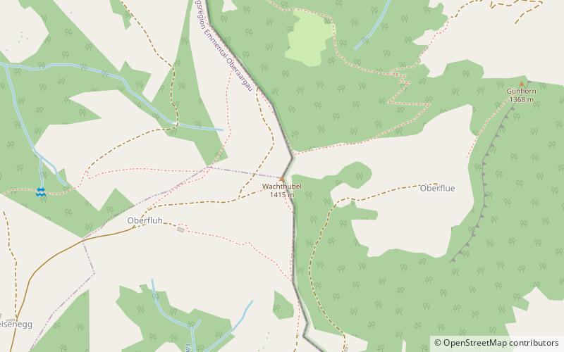
The Wachthubel is a mountain of the Emmental Alps, located on the border between the Swiss cantons of Bern and Lucerne. The mountain is located between Schangnau and Marbach. ()
BernSwitzerland
Wachthubel plan & book
Unleash the traveler in you — discover the cheapest flight deals, find the perfect hotel or hostel nearby, and search for the best car rental prices. Travel at your own pace to discover new places and enjoy your journey.
Wachthubel – popular in the area (distance from the attraction)
Nearby attractions include: Schrattenfluh, Tannhorn, Beichle, Schallenberg Pass.
4.2 miENature, Natural attraction, MountainSchrattenfluh, Entlebuch Biosphere
109 min walk • The Schrattenfluh is a mountain of the Swiss Alps, located in the upper Emmental, in the canton of Lucerne. The Schrattenfluh is composed of several summits of which the highest is named Hengst.
7.4 miSENature, Natural attraction, MountainTannhorn
188 min walk • The Tannhorn is a mountain of the Emmental Alps in Switzerland. It lies to the west of the Brienzer Rothorn and to the east of the Augstmatthorn. On its southern side it overlooks Lake Brienz.
6 miNENature, Natural attraction, MountainBeichle, Entlebuch Biosphere
153 min walk • The Beichle is a mountain of the Emmental Alps, overlooking Escholzmatt in the canton of Lucerne.
3.7 miSWNature, Natural attraction, Mountain passSchallenberg Pass
95 min walk • Schallenberg Pass is a high mountain pass in the canton of Berne in Switzerland. It connects Steffisburg and Marbach. The pass road has a maximum grade of 10 percent.
4.3 miSNature, Natural attraction, MountainHohgant
111 min walk • The Hohgant is a mountain of the Emmental Alps, located south of the Emmental in the canton of Berne. The main summit has an elevation of 2,197 metres above sea level and is distinguished by the name Furggengütsch.
4.3 miSWNature, Natural attraction, MountainHonegg
111 min walk • The Honegg is a mountain of the Emmental Alps, located between Schangnau and Eriz in the canton of Bern.
1.4 miSLocalitySchangnau
37 min walk • Schangnau is a municipality in the administrative district of Emmental in the canton of Bern in Switzerland.
4.3 miENature, Natural attraction, Natural featureEmmental Alps, Entlebuch Biosphere
109 min walk • The Emmental Alps are a mountain range in the western part of the Alps, in Switzerland. They are located north-west of the Brünig Pass, mainly in the cantons of Lucerne, Bern, and Obwalden, with a small portion in the canton of Nidwalden.
4.3 miSENature, Natural attraction, MountainSchibengütsch, Entlebuch Biosphere
111 min walk • Schibengütsch is a mountain peak in the Swiss canton of Lucerne. The Schibengütsch is 2037 m above sea level and forms the southwestern end of the Schrattenfluh mountain range. The Schrattenfluh is accessible from several sides by hiking trails.
3.9 miNWLocalityEggiwil
101 min walk • Eggiwil is a municipality in the administrative district of Emmental in the canton of Bern in Switzerland.
5.3 miNLocalityTrubschachen
135 min walk • Trubschachen is a municipality in the administrative district of Emmental in the canton of Bern in Switzerland.