Emmental Alps, Entlebuch Biosphere
Map

Map

Facts and practical information
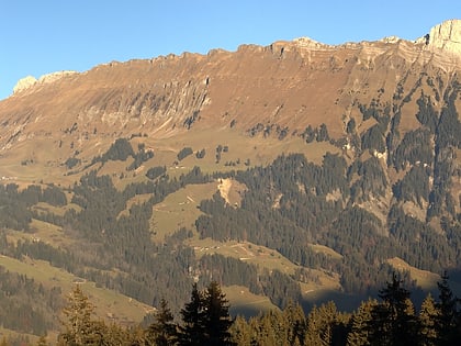
The Emmental Alps are a mountain range in the western part of the Alps, in Switzerland. They are located north-west of the Brünig Pass, mainly in the cantons of Lucerne, Bern, and Obwalden, with a small portion in the canton of Nidwalden. The highest summit of the range is the Brienzer Rothorn, which is also the highest point in the canton of Lucerne. The range is named after the Emme valley. In the north-west corner one finds the relatively low, but widespread, and very furrowed Napf. ()
Local name: Emmentaler Alpen Maximum elevation: 7710 ftElevation: 7710 ftCoordinates: 46°50'5"N, 7°57'29"E
Address
Entlebuch Biosphere
ContactAdd
Social media
Add
Day trips
Emmental Alps – popular in the area (distance from the attraction)
Nearby attractions include: Brienzer Rothorn, Schrattenfluh, Tannhorn, Wachthubel.


