Lai da Marmorera
#1072 among destinations in Switzerland
![Lai da Marmorera location map](https://tzmedia.b-cdn.net/media/images/static-maps/ch/46_5005_9_63624.jpg)
![Lai da Marmorera](https://tzmedia.b-cdn.net/media/images/ch/place/gallery/medium/57eff97b39c06a58dc6e17cc39ee2e75.jpg)
Facts and practical information
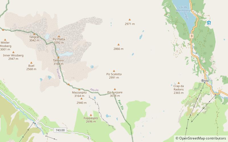
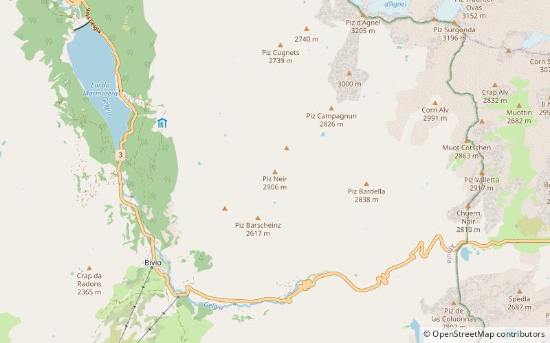
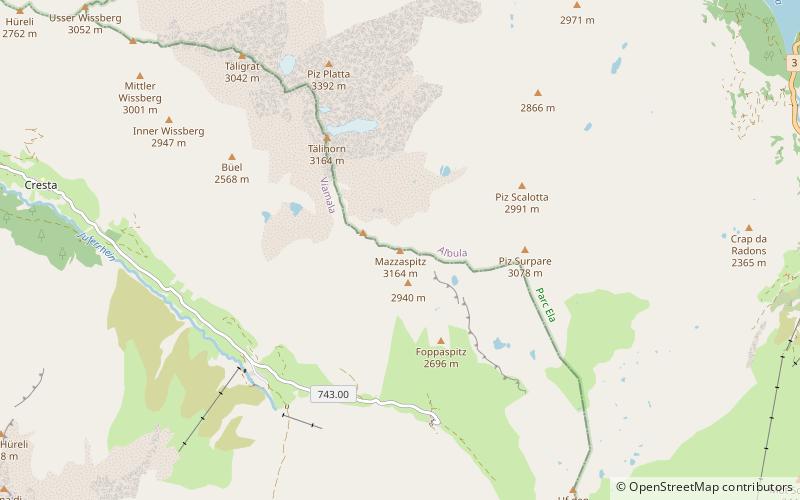
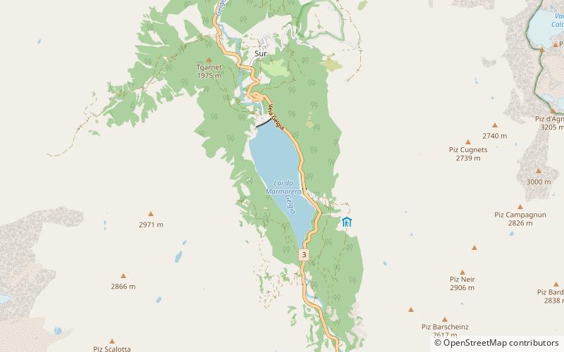
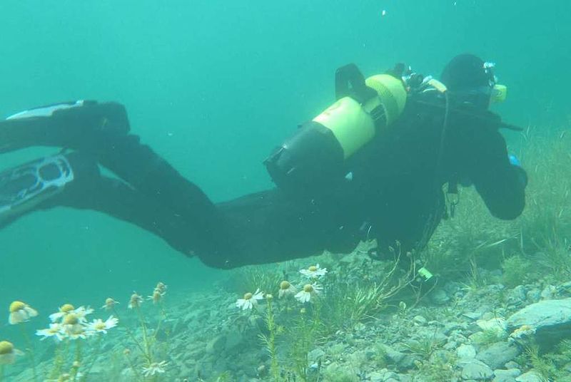
Lai da Marmorera is a reservoir in the Grisons, Switzerland. It is part of the Parc Ela nature park. ()
GraubündenSwitzerland
Lai da Marmorera plan & book
Unleash the traveler in you — discover the cheapest flight deals, find the perfect hotel or hostel nearby, and search for the best car rental prices. Travel at your own pace to discover new places and enjoy your journey.
Lai da Marmorera – popular in the area (distance from the attraction)
Nearby attractions include: Lai Blos, Marmels Castle, Spliatsch Castle, Julier Pass.
2.5 miNNature, Natural attraction, LakeLai Blos
63 min walk • Lai Blos or Lais Blos are two small lakes on Alp Flix, at an elevation of 1960 m, in the Grisons, Switzerland. They are located near to Lai Neir. The alp is listed in the Inventory of Mire Landscapes of Particular Beauty and National Importance.
0.6 miNWForts and castlesMarmels Castle
16 min walk • Marmels Castle German: Burg Marmels is a ruined castle in the municipality of Marmorera in the district of Albula in the canton of Graubünden in Switzerland.
1.2 miNForts and castlesSpliatsch Castle
32 min walk • Spliatsch Castle is a ruined castle in the municipality of Surses in the Albula Region in the canton of Graubünden in Switzerland.
4.8 miSEMountain passJulier Pass, Sils im Engadin/Segl
122 min walk • The Julier Pass is a mountain pass in Switzerland, in the Albula Alps. It connects the Engadin valley with central Graubünden, the nearest inhabited localities on its approaches being Silvaplana and Bivio.
3.3 miNENature, Natural attraction, MountainTschima da Flix
86 min walk • Tschima da Flix is a mountain of the Albula Alps, located between Piz Calderas and Piz d'Agnel, in the canton of Graubünden. On the northern side of the mountain lies a glacier named Vadret da Calderas.
2.7 miSWMountainPiz Scalotta
70 min walk • Piz Scalotta is a mountain of the Oberhalbstein Alps, located west of Bivio in the canton of Graubünden. It lies north of Piz Surparé.
2.4 miSEMountainPiz Neir, Sils im Engadin/Segl
61 min walk • Piz Neir is a mountain of the Albula Alps, overlooking Bivio in the canton of Graubünden. It lies on the group south of Piz d'Agnel.
5.2 miSEMountainPiz Materdell, Sils im Engadin/Segl
133 min walk • Piz Materdell is a mountain of the Albula Alps, overlooking Lake Sils in the canton of Graubünden. It lies on the range between the Septimer Pass and the Julier Pass, which culminates at Piz Lagrev.
3.8 miSWMountainMazzaspitz
98 min walk • The Mazzaspitz is a mountain of the Oberhalbstein Alps, overlooking Juf in the canton of Graubünden. It lies south of Piz Platta, on the range between the valley of Avers and the Val Bercla.
4.3 miENature, Natural attraction, MountainPiz Surgonda
109 min walk • Piz Surgonda is a mountain of the Albula Alps, located north of the Julier Pass in the canton of Graubünden. It lies on the range surrounding the Val Bever, east of Piz d'Agnel.
3.8 miNENature, Natural attraction, MountainPiz Calderas
97 min walk • Piz Calderas is a mountain of the Albula Alps, overlooking Mulegns in the canton of Graubünden. It is the highest summit of the group located between the Julier and Albula Pass. On its east side lies the Val Bever.