Kärpf
Map

Map

Facts and practical information
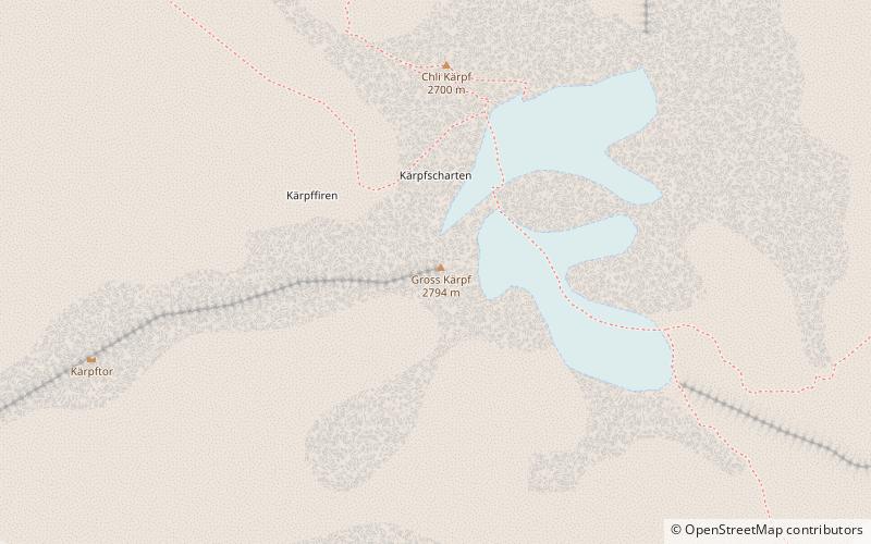
The Kärpf is a mountain in the Glarus Alps, at an elevation of 2,794 m. The Kärpf is the highest point of the massif lying north of Richetli Pass. This range separates the two main valleys of Glarus: the main Linth valley with the village of Linthal on the west and the Sernftal with the village of Elm on the east. ()
Location
Glarus
ContactAdd
Social media
Add
Day trips
Kärpf – popular in the area (distance from the attraction)
Nearby attractions include: Garichtisee, Oberblegisee, Vorab, Glarus Süd.


