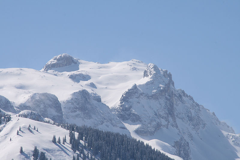
Sulzfluh

Gallery (2)
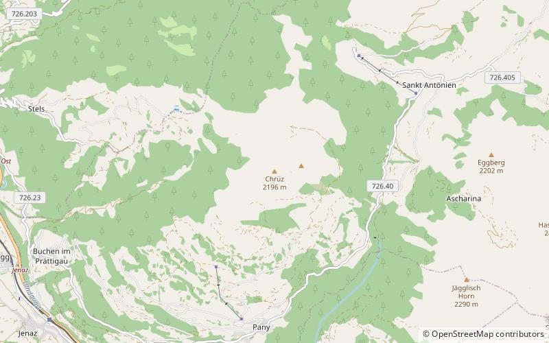
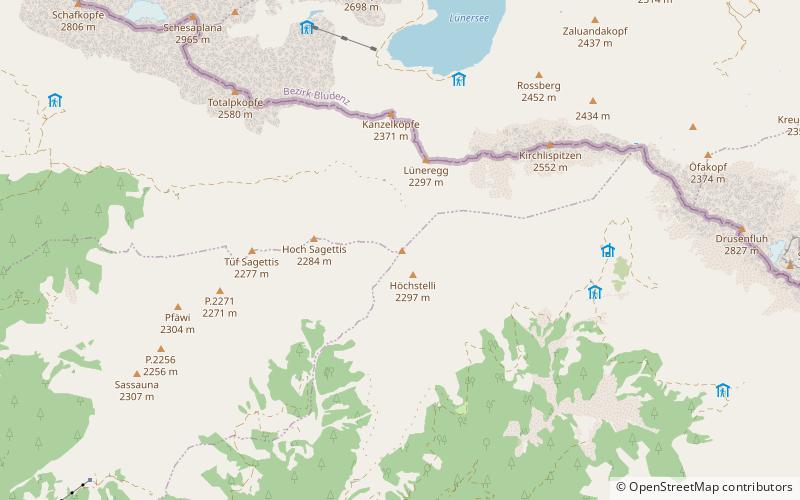
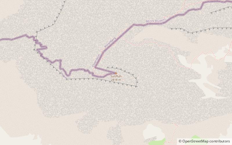
Map
Map
Gallery
Facts and practical information
The Sulzfluh is a mountain in the Rätikon range of the Alps, located on the border between Austria and Switzerland. The closest locality is St. Antönien, on the southern side. ()
Alternative names: First ascent: 1782Elevation: 9242 ftProminence: 1558 ftCoordinates: 47°0'46"N, 9°50'23"E
Location
Graubünden
ContactAdd
Social media
Add
Day trips