Piz Arblatsch
#1468 among destinations in Switzerland


Facts and practical information
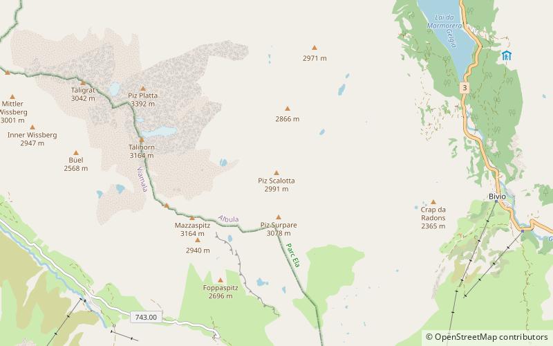
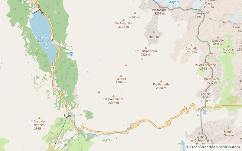
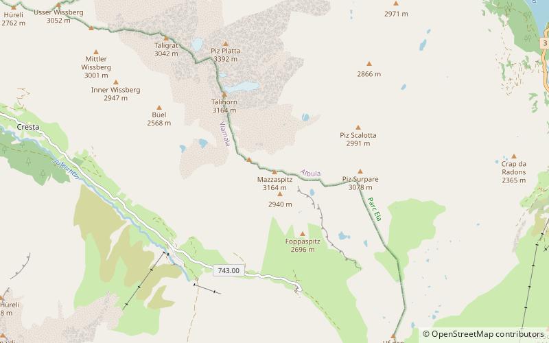
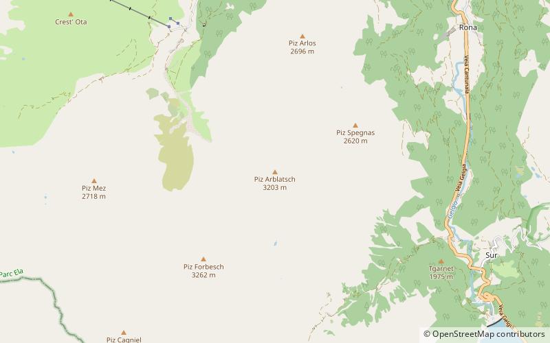
Piz Arblatsch is a mountain of the Oberhalbstein Alps, overlooking Mulegns in the canton of Graubünden. ()
GraubündenSwitzerland
Piz Arblatsch plan & book
Unleash the traveler in you — discover the cheapest flight deals, find the perfect hotel or hostel nearby, and search for the best car rental prices. Travel at your own pace to discover new places and enjoy your journey.
Piz Arblatsch – popular in the area (distance from the attraction)
Nearby attractions include: Lai Blos, Marmels Castle, Riom Castle, Usser Wissberg.
3.1 miE
Nature, Natural attraction, LakeLai Blos
79 min walk • Lai Blos or Lais Blos are two small lakes on Alp Flix, at an elevation of 1960 m, in the Grisons, Switzerland. They are located near to Lai Neir. The alp is listed in the Inventory of Mire Landscapes of Particular Beauty and National Importance.
3.1 miSE
Forts and castlesMarmels Castle
80 min walk • Marmels Castle German: Burg Marmels is a ruined castle in the municipality of Marmorera in the district of Albula in the canton of Graubünden in Switzerland.
5.1 miN
Forts and castlesRiom Castle
130 min walk • Riom Castle is a castle in the village of Riom-Parsonz of the Canton of Graubünden in Switzerland. It is a Swiss heritage site of national significance.
3.9 miSW
MountainUsser Wissberg
101 min walk • The Usser Wissberg is a mountain of the Oberhalbstein Alps, overlooking the Avers valley, west of Piz Platta, in the canton of Graubünden.
2.7 miSE
Forts and castlesSpliatsch Castle
69 min walk • Spliatsch Castle is a ruined castle in the municipality of Surses in the Albula Region in the canton of Graubünden in Switzerland.
4.4 miS
MountainPiz Scalotta
113 min walk • Piz Scalotta is a mountain of the Oberhalbstein Alps, located west of Bivio in the canton of Graubünden. It lies north of Piz Surparé.
4 miN
Natural featureOberhalbstein Alps
103 min walk • The Oberhalbstein Alps or Platta Group are a mountain range in the Alps of eastern Switzerland and northern Italy. They are considered to be part of the Central Eastern Alps.
6 miSE
MountainPiz Neir, Sils im Engadin/Segl
154 min walk • Piz Neir is a mountain of the Albula Alps, overlooking Bivio in the canton of Graubünden. It lies on the group south of Piz d'Agnel.
4.4 miN
Nature, Natural attraction, LakeLai Lung
112 min walk • Lai Lung is a lake near Riom-Parsonz in the Grisons, Switzerland.
4.9 miS
MountainMazzaspitz
124 min walk • The Mazzaspitz is a mountain of the Oberhalbstein Alps, overlooking Juf in the canton of Graubünden. It lies south of Piz Platta, on the range between the valley of Avers and the Val Bercla.
3.4 miS
Nature, Natural attraction, MountainPiz Platta
87 min walk • Piz Platta is the highest peak in the Oberhalbstein Alps. It is 3392 metres high, and is notable for its similarity in shape to the Matterhorn. Piz Platta is located between the localities of Avers and Mulegns, both in the Swiss canton of Graubünden.
