Carschinahütte
Map

Map

Facts and practical information
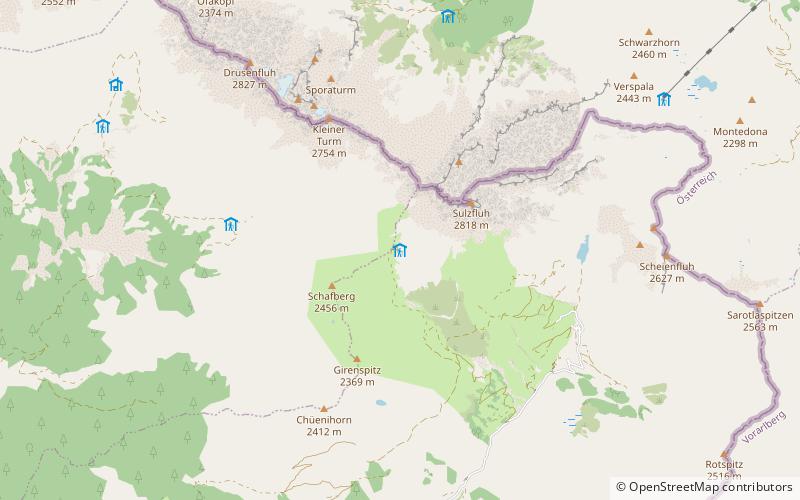
The Carschinahütte is a refuge of the Rätia Section of the Swiss Alpine Club, in the Rätikon mountain group, in the Swiss canton of Graubünden. It is located north of St. Antönien at an altitude of 2236 m above sea level below the Sulzfluh, in a panoramic position with a view into the St. Antönier valley. It offers 85 sleeping places and is managed in the summer season from mid-June to mid-October. In winter it offers a shelter for ten people.
Coordinates: 47°0'26"N, 9°49'38"E
Day trips
Carschinahütte – popular in the area (distance from the attraction)
Nearby attractions include: Sulzfluh, Salginatobel Bridge, Madrisa, Kirchlispitzen.


