Saanen
#1993 among destinations in Switzerland


Facts and practical information
Saanen is a municipality in the canton of Bern in Switzerland. It is the capital of the Obersimmental-Saanen administrative district. ()
Saanen plan & book
Unleash the traveler in you — discover the cheapest flight deals, find the perfect hotel or hostel nearby, and search for the best car rental prices. Travel at your own pace to discover new places and enjoy your journey.
Saanen – popular in the area (distance from the attraction)
Nearby attractions include: Roy Emerson Arena, Vanil Noir, Dent de Brenleire, Dent de Ruth.
 Sport venue, Sport
Roy Emerson Arena, Gstaad
38 min walk • Roy Emerson Arena is a tennis stadium located in Gstaad, Switzerland. The stadium is the centerpiece of the Suisse Open Gstaad, an ATP Tour event. The stadium has a capacity of 4,500 spectators.
 Nature, Natural attraction, Mountain
Vanil Noir
153 min walk • The Vanil Noir is a mountain of the Fribourg Prealps, located on the border between the cantons of Fribourg and Vaud in western Switzerland.
 Nature, Natural attraction, Mountain
Dent de Brenleire
151 min walk • The Dent de Brenleire is a mountain of the Fribourg Alps, located south of Charmey in the Swiss canton of Fribourg. It has an elevation of 2,353 metres above sea level and is amongst the highest summits in the canton of Fribourg, after the Vanil Noir, the Vanil de l'Ecri and the Pointe de Paray.
 Nature, Natural attraction, Mountain
Dent de Ruth
117 min walk • The Dent de Ruth is a mountain in the Bernese Alps in Switzerland. The summit is the tripoint between the cantons of Vaud, Berne and Fribourg.
 Nature, Natural attraction, Mountain
Vanil de l'Ecri
146 min walk • The Vanil de l'Ecri is a mountain of the Swiss Prealps, located on the border between the cantons of Fribourg and Vaud. Reaching a height of 2,376 metres above sea level, it is both the second highest summit of the Vanil Noir massif and the canton of Fribourg. The mountain lies between the Pointe de Paray and the Vanil Noir.
 Nature, Natural attraction, Mountain
Gummfluh
119 min walk • The Gummfluh is a mountain in the western Bernese Alps, located on the border between the Swiss cantons of Vaud and Berne. It is the highest peak in the chain of mountains on the south side of the Pays d'Enhaut and it lies approximately halfway between Château d'Oex and Gstaad.
 Nature, Natural attraction, Mountain
Dent de Savigny
114 min walk • The Dent de Savigny is a mountain of the Bernese Alps, located on the border between the Swiss cantons of Vaud and Fribourg. With an elevation of 2,252 metres above sea level, it one of the highest mountains in the canton of Fribourg.
 Nature, Natural attraction, Mountain
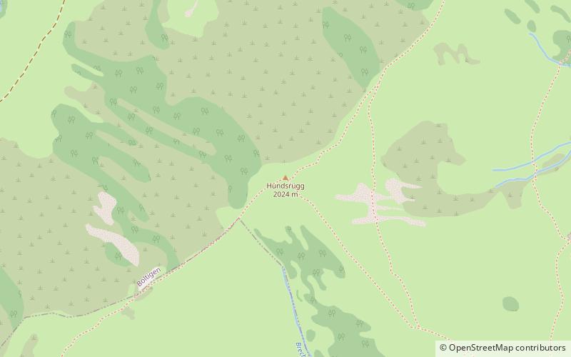
Hundsrügg
130 min walk • The Hundsrügg is a mountain of the Bernese Alps, located west of Zweisimmen in the Bernese Oberland. It is the highest point of the chain south of the Jaun Pass and east of the Gastlosen.
 Nature, Natural attraction, Mountain
Le Rubli
78 min walk • Le Rubli is a 2,285 metre high mountain in the western Bernese Alps, overlooking Rougemont in the canton of Vaud, near the border with the canton of Berne. Le Rubli has steep faces and its summit is relatively difficult to access. A via ferrata starts near the gondola station of the Videmanette. A cable car travels it's western face.
 Nature, Natural attraction, Mountain
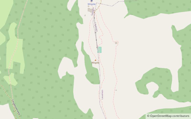
Höhi Wispile, Gstaad
102 min walk • The Höhi Wispile is a mountain of the Bernese Alps, overlooking Gstaad in the canton of Bern. It lies on the range separating the main Saane valley from the Lauenen valley, north of the Spitzhorn.
 Nature, Natural attraction, Mountain
Wittenberghorn
144 min walk • The Wittenberghorn is a mountain of the Bernese Alps, located on the border between the Swiss cantons of Vaud and Bern. It lies approximately halfway between L'Etivaz and Feutersoey, south of the Col de Jable.


