Syrian Catholic Archeparchy of Homs, Homs
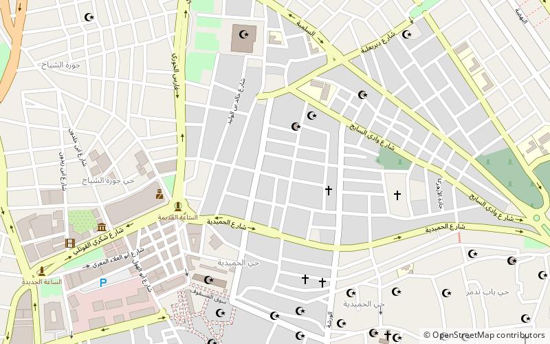
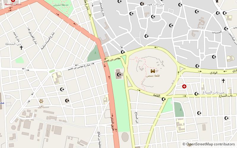
Map
Facts and practical information
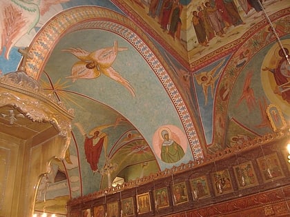
The Syriac Catholic Archeparchy of Homs is a nominally Metropolitan Archeparchy of the Syriac Catholic Church sui iuris, without suffragans, in part of Syria. ()
Address
Homs
ContactAdd
Social media
Add
Day trips
Syrian Catholic Archeparchy of Homs – popular in the area (distance from the attraction)
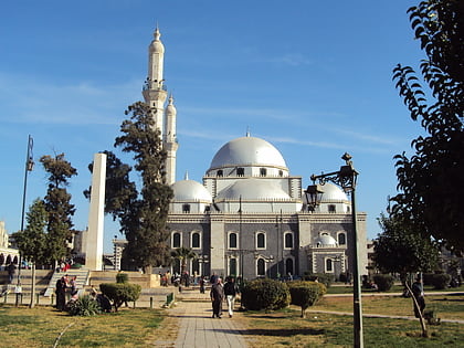
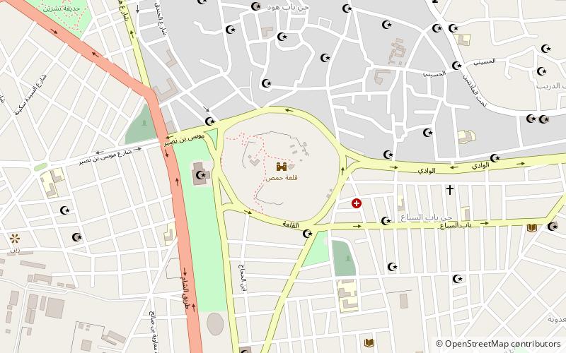
Nearby attractions include: Khalid ibn al-Walid Mosque, Saint Mary Church of the Holy Belt, Citadel of Homs, Necropolis of Emesa.
Frequently Asked Questions (FAQ)
Which popular attractions are close to Syrian Catholic Archeparchy of Homs?
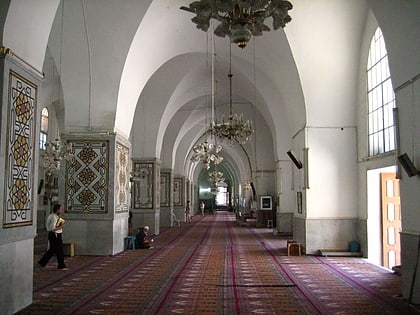
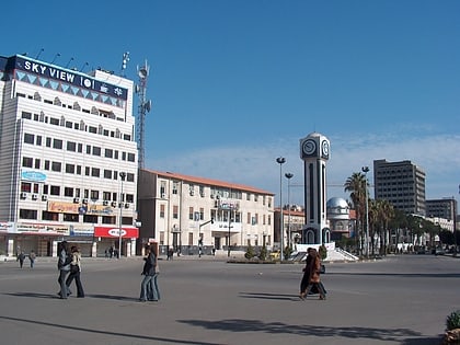
Nearby attractions include Great Mosque of al-Nuri, Homs (6 min walk), Khalid ibn al-Walid Mosque, Homs (7 min walk), Saint Mary Church of the Holy Belt, Homs (10 min walk), Quwatli Street, Homs (12 min walk).
How to get to Syrian Catholic Archeparchy of Homs by public transport?
The nearest stations to Syrian Catholic Archeparchy of Homs:
Train
Train
- Homs station (29 min walk)
