Croydon Minster, London
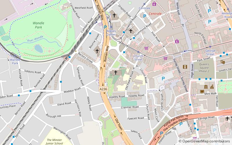
Map

Gallery

Facts and practical information
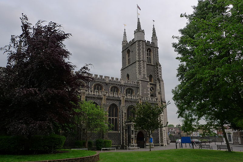
Croydon Minster is the parish and civic church of the London Borough of Croydon. There are currently more than 35 churches in the borough, with Croydon Minster being the most prominent. It is Grade I listed. ()
Architectural style: English gothicCoordinates: 51°22'22"N, 0°6'21"W
Day trips
Croydon Minster – popular in the area (distance from the attraction)
Nearby attractions include: St George's Walk, Whitgift Centre, Centrale, Queen's Gardens.
Frequently Asked Questions (FAQ)
Which popular attractions are close to Croydon Minster?
Nearby attractions include Croydon Palace, Warlingham (2 min walk), Church Street tram stop, Warlingham (3 min walk), Croydon, London (5 min walk), Surrey Street Market, London (6 min walk).
How to get to Croydon Minster by public transport?
The nearest stations to Croydon Minster:
Bus
Tram
Train
Bus
- Church Street Tram Stop • Lines: 157, 264, 407, 410, 455, 645 (3 min walk)
- Reeves Corner • Lines: 157, 264, 407, 410, 455, 645 (4 min walk)
Tram
- Church Street • Lines: 2, 3, 4 (3 min walk)
- Reeves Corner • Lines: 2, 4 (4 min walk)
Train
- West Croydon (12 min walk)
- East Croydon (16 min walk)

 Tube
Tube


