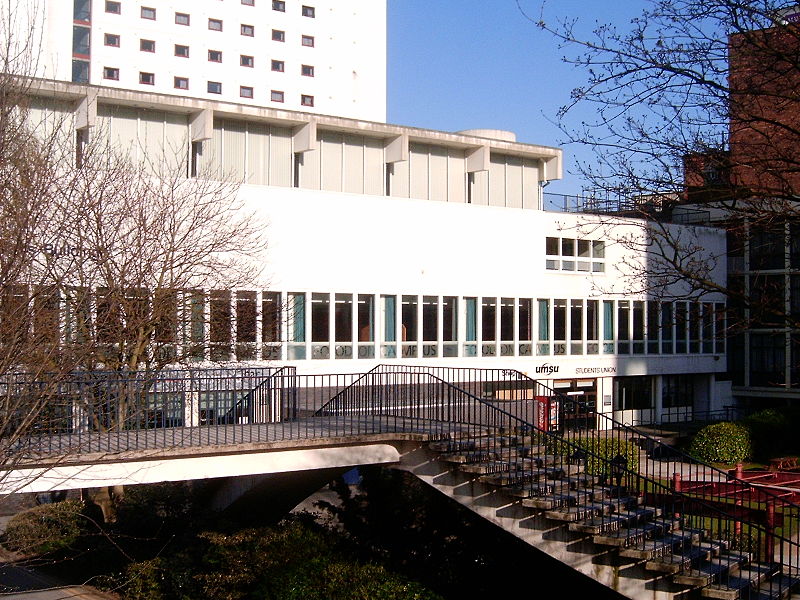
Barnes Wallis Building, Manchester

Gallery (2)
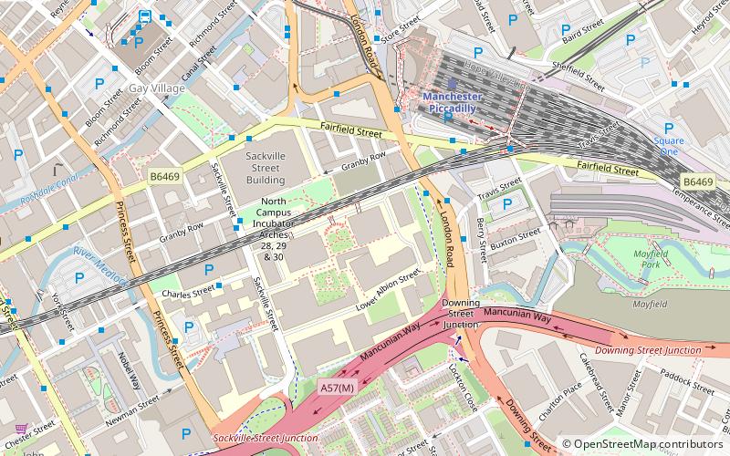
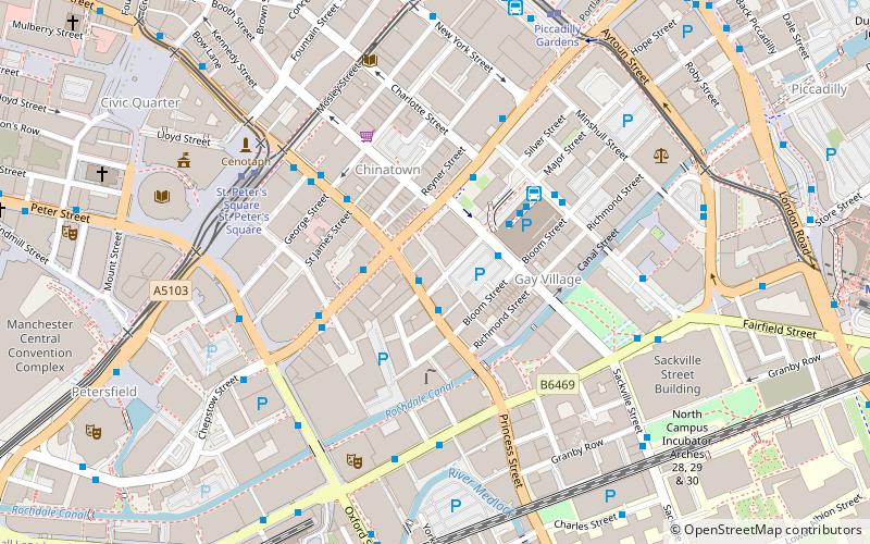
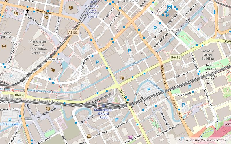
Map
Map
Gallery
Facts and practical information
The Barnes Wallis Building/Wright Robinson Hall is a university building in central Manchester. It forms part of the campus of the former University of Manchester Institute of Science and Technology, which merged in 2004 with the nearby Victoria University of Manchester. ()
Completed: 1964 (62 years ago)Coordinates: 53°28'31"N, 2°13'56"W
Address
City CentreManchester
ContactAdd
Social media
Add
Getting there by public transportation
Public transportation stops near this location
- Bus
- Tram
- Train
 Bus
Bus
- Calculate routeManchester City Centre, London Road / opposite Travis Street 2 min walk
- Calculate routeManchester City Centre, London Road / adjacent Travis Street 3 min walk
- Calculate routeManchester City Centre, London Road / near Travis Street 3 min walk
- Calculate routeManchester City Centre, London Road / Manchester Piccadilly Rail Station 4 min walk
- Calculate routePiccadilly 4 min walk
- Calculate routeSt. Peter's Square 13 min walk
- Calculate routeMarket Street 14 min walk
- Calculate routeManchester Piccadilly 5 min walk
- Calculate routeManchester Oxford Road 11 min walk
- Calculate routeDeansgate 20 min walk
- Calculate routeArdwick 22 min walk
Maps MetrolinkMaps
 Metrolink / Rail
MetrolinkMapsMetrolink / RailDay trips
Barnes Wallis Building – popular in the area (distance from the attraction)
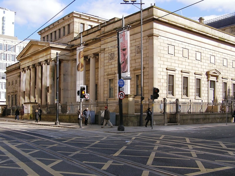
Nearby attractions include: Manchester Art Gallery, Manchester Aquatics Centre, Cornerhouse, Circus Tavern.


Frequently Asked Questions (FAQ)
Which popular attractions are close to Barnes Wallis Building?
Nearby attractions include Godlee Observatory, Manchester (2 min walk), Sackville Street Building, Manchester (3 min walk), The Warehouse Project, Manchester (4 min walk), Piccadilly Tower, Manchester (4 min walk).
How to get to Barnes Wallis Building by public transport?
The nearest stations to Barnes Wallis Building:
Bus
Tram
Train
Bus
- Manchester City Centre, London Road / opposite Travis Street • Lines: 192, 203, X92 (2 min walk)
- Manchester City Centre, London Road / adjacent Travis Street • Lines: 192 (3 min walk)
Tram
- Piccadilly • Lines: Altr, Asht, Bury, Eccl, Mcuk, Picc (4 min walk)
- St. Peter's Square • Lines: Airp, Altr, Asht, Bury, Eccl, EDid, Mcuk, Picc, Roch, Shaw, Vict (13 min walk)
Train
- Manchester Piccadilly (5 min walk)
- Manchester Oxford Road (11 min walk)