Low Fell, Lake District National Park
Map

Gallery

Facts and practical information
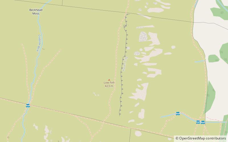
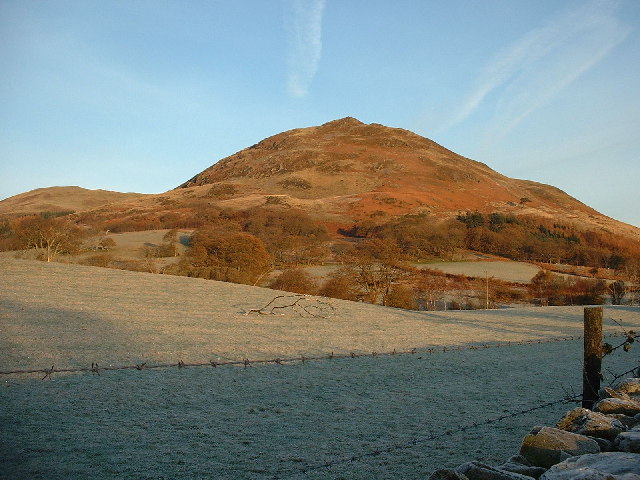
Low Fell is a fell in the English Lake District. It overlooks the lake of Loweswater to the south and to the north is bordered by its neighbour Fellbarrow. It is usually climbed from the villages of Loweswater or Thackthwaite. The fell is largely occupied by grassed enclosures, although there are some rocky outcrops near the top. Low Fell has fairly steep slopes to the south and east. ()
Elevation: 1388 ftProminence: 886 ftCoordinates: 54°35'30"N, 3°20'12"W
Address
Lake District National Park
ContactAdd
Social media
Add
Day trips
Low Fell – popular in the area (distance from the attraction)
Nearby attractions include: Crummock Water, Scale Force, Loweswater, Whiteless Pike.


