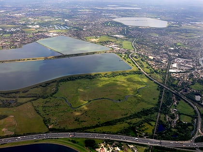
King George VI Reservoir, Staines-upon-Thames
Map
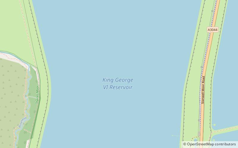
Map

Facts and practical information
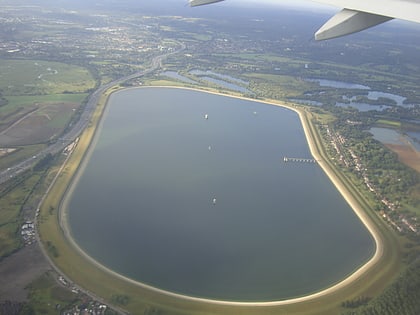
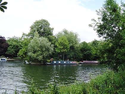
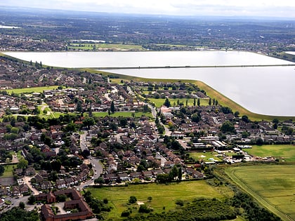
The King George VI Reservoir sits between Stanwell Moor and Staines upon Thames, south-west of Heathrow, England. It is between Staines Moor and a north–south road abutting the Staines Reservoirs. The reservoir was opened in November 1947 and named after the then reigning monarch George VI. It is owned by Thames Water. ()
Built: 1937 (89 years ago)Maximum depth: 56 ftElevation: 56 ft a.s.l.Coordinates: 51°26'57"N, 0°30'9"W
Address
Staines-upon-Thames
ContactAdd
Social media
Add
Day trips
King George VI Reservoir – popular in the area (distance from the attraction)
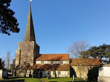
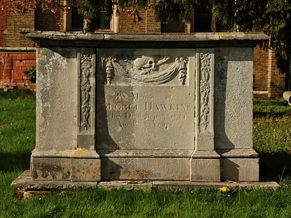
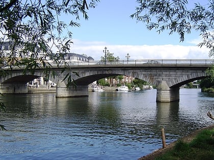
Nearby attractions include: Church of St Mary, St. Mary's Church, Staines Bridge, Wraysbury Reservoir.
Frequently Asked Questions (FAQ)
Which popular attractions are close to King George VI Reservoir?
Nearby attractions include Staines Moor, Staines-upon-Thames (13 min walk), Staines Reservoirs, Staines-upon-Thames (18 min walk).
How to get to King George VI Reservoir by public transport?
The nearest stations to King George VI Reservoir:
Bus
Train
Bus
- Whatmore Close • Lines: 442 (18 min walk)
- Farm Way • Lines: 442 (19 min walk)
Train
- Staines (30 min walk)

