Wraysbury Reservoir

Gallery (1)
Map
Map
Facts and practical information
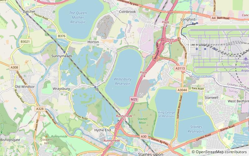
Wraysbury Reservoir is a water supply reservoir for London, just west of the M25 near the village of Wraysbury, and directly under the western approach path of Heathrow Airport. The reservoir was begun in 1967 and completed by W. & C. French in 1970 with a capacity of 34,000 million litres. ()
Elevation: 59 ft a.s.l.Coordinates: 51°27'40"N, 0°31'33"W
Location
England
ContactAdd
Social media
Add
Day trips