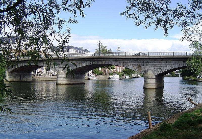
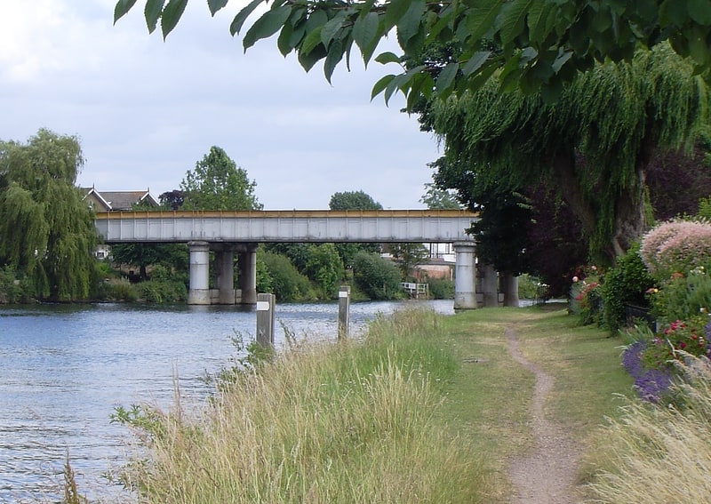
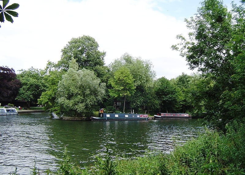
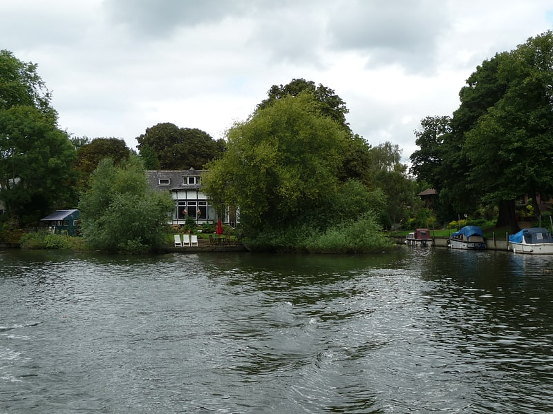
Staines Moor, Staines-upon-Thames
Gallery (3)
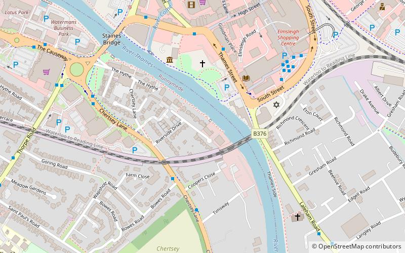
Map
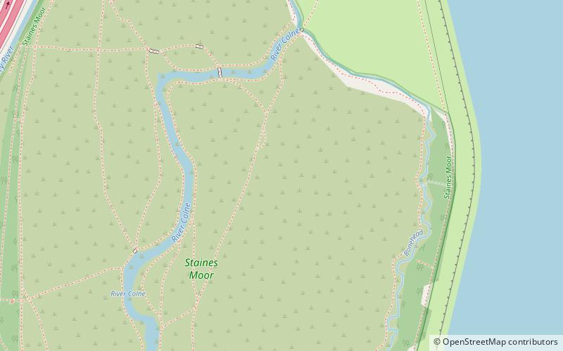
Map
Gallery
Facts and practical information
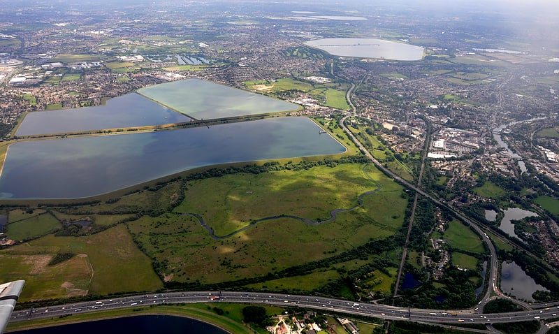
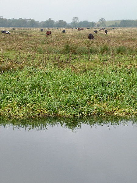
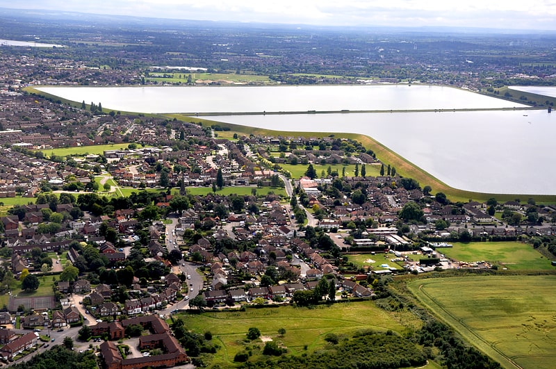
Staines Moor is a 510.8-hectare biological Site of Special Scientific Interest north of Staines-upon-Thames in Surrey. It is part of the South West London Waterbodies Ramsar site and a Special Protection Area ()
Coordinates: 51°26'54"N, 0°30'48"W
Address
Staines-upon-Thames
ContactAdd
Social media
Add
Getting there by public transportation
Public transportation stops near this location
- Bus
- Train
 Bus
Bus
- Calculate routeTwo Rivers 21 min walk
- Calculate routeFarm Way 22 min walk
- Calculate routeWhatmore Close 23 min walk
- Calculate routeHigh Street 24 min walk
- Calculate routeStaines 31 min walk
Day trips


Frequently Asked Questions (FAQ)
Which popular attractions are close to Staines Moor?
Nearby attractions include King George VI Reservoir, Staines-upon-Thames (13 min walk), St. Mary's Church, Staines-upon-Thames (22 min walk).
How to get to Staines Moor by public transport?
The nearest stations to Staines Moor:
Bus
Train
Bus
- Two Rivers • Lines: 438, 571 (21 min walk)
- Farm Way • Lines: 442 (22 min walk)
Train
- Staines (31 min walk)