East Hertfordshire District Council, Hertford
Map
Facts and practical information
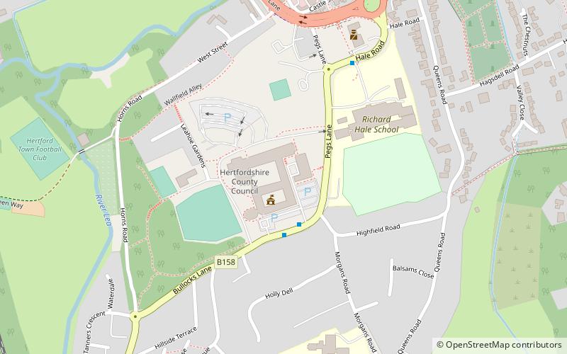
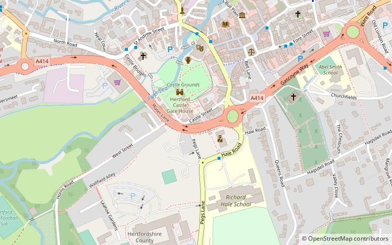
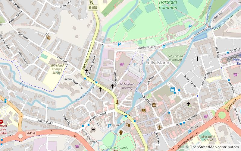
East Hertfordshire District Council is the local authority for the East Hertfordshire non-metropolitan district of England, the United Kingdom. East Hertfordshire covers most of the eastern third of Hertfordshire, in the East of England region. The council area includes the county town of Hertford, the district's largest town Bishop's Stortford, Ware, Sawbridgeworth, Buntingford and neighbouring villages. ()
Coordinates: 51°47'28"N, 0°4'52"W
Getting there by public transportation
Public transportation stops near this location
- Bus
- Train
 Bus
Bus
- Calculate routeBus Station 13 min walk
- Calculate routeHertford Bus Station 13 min walk
- Calculate routeHertford East 17 min walk
- Calculate routeHertford North 18 min walk
Day trips


Frequently Asked Questions (FAQ)
Which popular attractions are close to East Hertfordshire District Council?
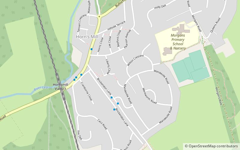
Nearby attractions include County Hall, Hertford (1 min walk), All Saints' Church, Hertford (9 min walk), Horns Mill, Hertford (10 min walk), Shire Hall, Hertford (10 min walk).
How to get to East Hertfordshire District Council by public transport?
The nearest stations to East Hertfordshire District Council:
Bus
Train
Bus
- Bus Station • Lines: 10, 724 (13 min walk)
- Hertford Bus Station (13 min walk)
Train
- Hertford East (17 min walk)
- Hertford North (18 min walk)