Five Wells, Peak District
Map

Map

Facts and practical information
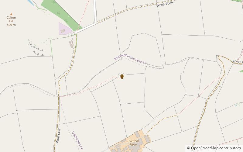
Five Wells is a Neolithic chambered tomb between the villages of Chelmorton and Taddington on Taddington Moor in the Derbyshire Peak District. ()
Built: 2400 B.C.E.Coordinates: 53°14'11"N, 1°48'57"W
Address
Peak District
ContactAdd
Social media
Add
Day trips
Five Wells – popular in the area (distance from the attraction)
Nearby attractions include: Monsal Trail, St John the Baptist, Chee Dale, High Peak Trail.
Frequently Asked Questions (FAQ)
Which popular attractions are close to Five Wells?
Nearby attractions include Calton Hill, Peak District (12 min walk), Taddington Moor, Peak District (19 min walk).


