Magpie Mine, Peak District

Gallery (2)
Map
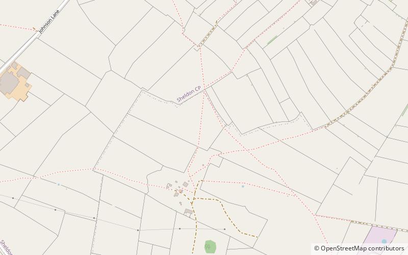
Map
Gallery
Facts and practical information
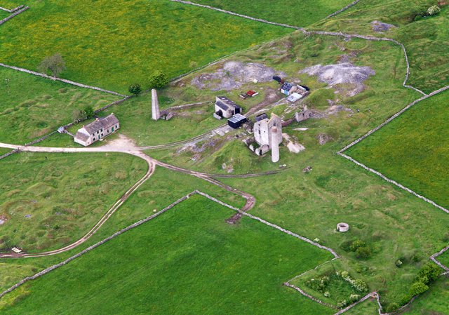
Magpie Mine is a well-preserved disused lead mine near the village of Sheldon in Derbyshire, England, in the parish of Ashford in the Water. The walled enclosure of five lead mines is a protected Scheduled Monument. ()
Coordinates: 53°12'42"N, 1°44'32"W
Address
Peak District
ContactAdd
Social media
Add
Day trips