High Peak Trail
Map

Gallery

Facts and practical information
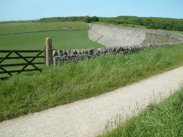
The High Peak Trail is a 17-mile trail for walkers, cyclists and horse riders in the Peak District of England. Running from Dowlow (53.2059°N 1.8349°W / 53.2059; -1.8349), near Buxton, to High Peak Junction, Cromford (53.1004°N 1.5354°W / 53.1004; -1.5354), it follows the trackbed of the former Cromford and High Peak Railway, which was completed in 1831 to carry minerals and goods between the Cromford Canal wharf at High Peak Junction and the Peak Forest Canal at Whaley Bridge. ()
Coordinates: 53°12'21"N, 1°50'6"W
Location
England
ContactAdd
Social media
Add
Day trips
High Peak Trail – popular in the area (distance from the attraction)
Nearby attractions include: Chee Dale, Tissington Trail, Arbor Low, Chrome Hill.


