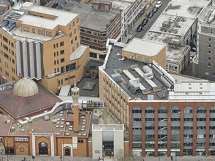
St Paul's Shadwell, London
Map

Gallery

Facts and practical information
St Paul's Church, Shadwell, is a Grade II* listed Church of England church, located between The Highway and Shadwell Basin, on the edge of Wapping, in the East End of London, England. The church has had varying fortunes over many centuries, and is now very active, having been supported recently by Holy Trinity Brompton Church. ()
Coordinates: 51°30'34"N, 0°3'7"W
Day trips
St Paul's Shadwell – popular in the area (distance from the attraction)
Nearby attractions include: Whitechapel Road, Limehouse Basin, Tobacco Dock, The Grapes.
Frequently Asked Questions (FAQ)
Which popular attractions are close to St Paul's Shadwell?
Nearby attractions include Wapping Hydraulic Power Station, London (4 min walk), King Edward Memorial Park, London (4 min walk), Wapping Wall, London (6 min walk), St George in the East, London (8 min walk).
How to get to St Paul's Shadwell by public transport?
The nearest stations to St Paul's Shadwell:
Light rail
Train
Bus
Metro
Ferry
Light rail
- Shadwell Platform 1 • Lines: B-L, B-Wa, Tg-B (6 min walk)
- Limehouse Platform 3 • Lines: B-L, B-Wa, Tg-B (16 min walk)
Train
- Shadwell (7 min walk)
- Wapping (10 min walk)
Bus
- Cavell Street • Lines: 106 (18 min walk)
- Stepney Green School • Lines: 309 (19 min walk)
Metro
- Whitechapel • Lines: District, Hammersmith & City (21 min walk)
- Canada Water • Lines: Jubilee (21 min walk)
Ferry
- Doubletree Docklands Nelson Dock • Lines: Rb4 (24 min walk)
- Saint Katharine's Pier • Lines: Blue Tour, Green Tour (25 min walk)

 Tube
Tube


