St. Mary's Church, London
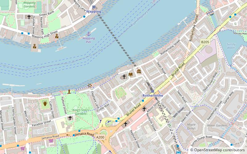
Map

Map

Facts and practical information
St Mary's Church, Rotherhithe, is the local Church of England parish church in Rotherhithe, formerly in Surrey and now part of south east London. The parish is now within the diocese of Southwark and under the jurisdiction of the Bishop of Fulham. The 18th-century church is in St Marychurch Street and is dedicated to Mary, mother of Jesus, and it is particularly proud of its connections with the Pilgrim Fathers. It remains a living and working church, supported by local people and serving a broad community. ()
Coordinates: 51°30'5"N, 0°3'14"W
Day trips
St. Mary's Church – popular in the area (distance from the attraction)
Nearby attractions include: Tower Bridge, St. Katharine Docks, Tobacco Dock, King Edward Memorial Park.
Frequently Asked Questions (FAQ)
Which popular attractions are close to St. Mary's Church?
Nearby attractions include Brunel Museum, London (2 min walk), King's Stairs Gardens, London (5 min walk), Wapping Hydraulic Power Station, London (11 min walk), Rotherhithe, London (12 min walk).
How to get to St. Mary's Church by public transport?
The nearest stations to St. Mary's Church:
Train
Bus
Metro
Light rail
Ferry
Train
- Rotherhithe (3 min walk)
- Wapping (6 min walk)
Bus
- Canada Water Bus Station (8 min walk)
- Esmeralda Road • Lines: 381, N381, P12 (24 min walk)
Metro
- Canada Water • Lines: Jubilee (8 min walk)
- Bermondsey • Lines: Jubilee (14 min walk)
Light rail
- Shadwell Platform 2 • Lines: B-L, B-Wa, Tg-B (19 min walk)
- Limehouse Platform 3 • Lines: B-L, B-Wa, Tg-B (26 min walk)
Ferry
- Saint Katharine's Pier • Lines: Blue Tour, Green Tour (23 min walk)
- Doubletree Docklands Nelson Dock • Lines: Rb4 (25 min walk)

 Tube
Tube


