Victoria Park, London
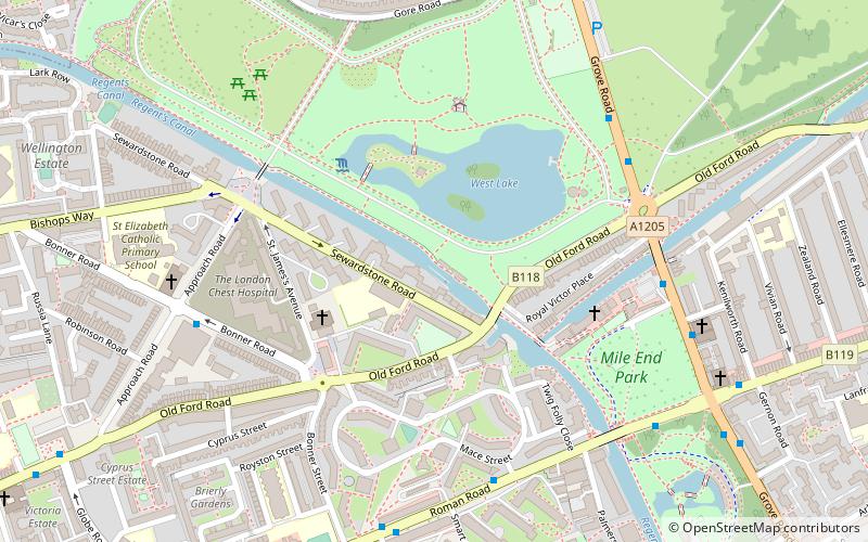
Map
Gallery
Facts and practical information
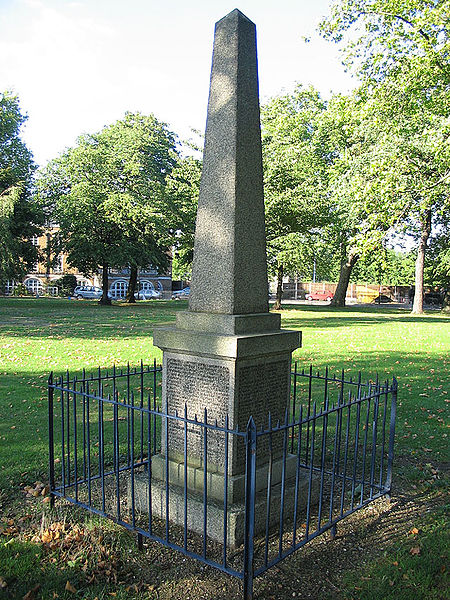
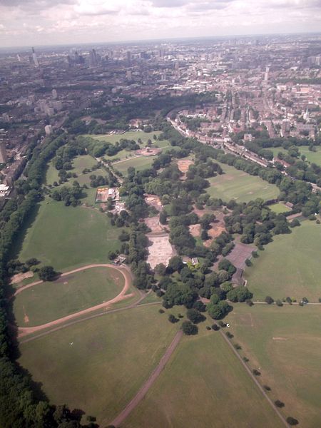
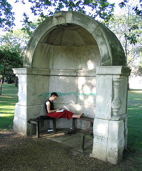
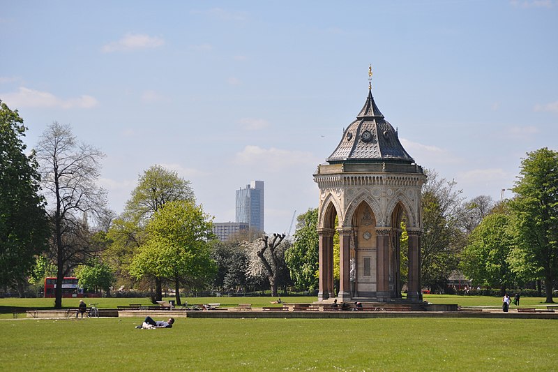
Victoria Park is a park in the London Borough of Tower Hamlets in East London, England. It is the largest park in Tower Hamlets and one of London's most visited green spaces with approximately 9 million visitors every year. The park spans 86.18 hectares of open space and opened to the public in 1845. ()
Day trips
Victoria Park – popular in the area (distance from the attraction)
Nearby attractions include: London Stadium, The Guardian Angels Church, Mile End Lock, Hackney Empire.
Frequently Asked Questions (FAQ)
Which popular attractions are close to Victoria Park?
Nearby attractions include Baroness Burdett Coutts Drinking Fountain, London (3 min walk), Lauriston Road Cemetery, London (7 min walk), St Barnabas Bethnal Green, London (13 min walk), Old Ford Lock, London (13 min walk).
How to get to Victoria Park by public transport?
The nearest stations to Victoria Park:
Bus
Train
Metro
Light rail
Bus
- Wetherell Road • Lines: 388 (5 min walk)
- Gascoyne Road • Lines: 388 (6 min walk)
Train
- Homerton (18 min walk)
- Hackney Wick (19 min walk)
Metro
- Mile End • Lines: Central, District, Hammersmith & City (23 min walk)
- Bow Road • Lines: District, Hammersmith & City (25 min walk)
Light rail
- Bow Church Platform 1 • Lines: S-L (27 min walk)
- Pudding Mill Lane Platform 1 • Lines: S-L (28 min walk)



 Tube
Tube


