The Guardian Angels Church, London
Map

Map

Facts and practical information
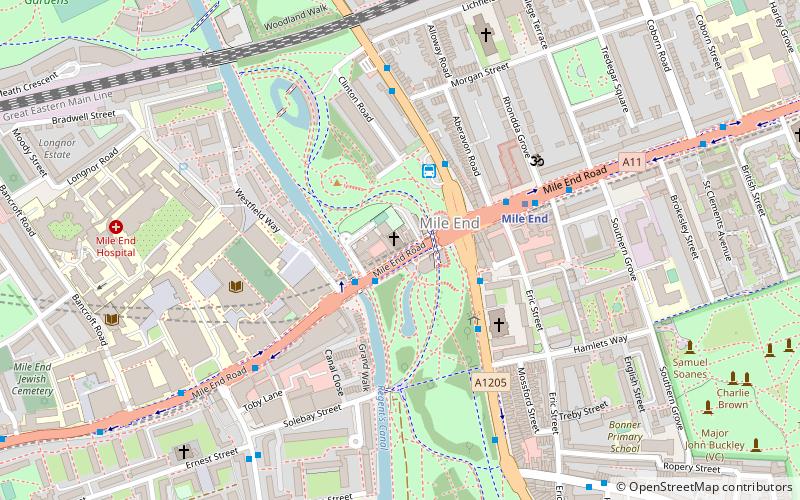
The Guardian Angels Church is a Roman Catholic church at 377 Mile End Road in Mile End, east London. Designed by Frederick Arthur Walters, it was opened in 1903 and paid for by Henry Fitzalan-Howard, 15th Duke of Norfolk as a memorial to his youngest sister, Lady Margaret Howard, who had performed charitable work in the East End. ()
Coordinates: 51°31'29"N, 0°2'10"W
Day trips
The Guardian Angels Church – popular in the area (distance from the attraction)
Nearby attractions include: Mile End Lock, St Barnabas Bethnal Green, St Dunstan's, St John on Bethnal Green.
Frequently Asked Questions (FAQ)
Which popular attractions are close to The Guardian Angels Church?
Nearby attractions include Mile End Lock, London (3 min walk), Mile End Park, London (4 min walk), Tredegar Square, London (6 min walk), Meath Gardens, London (8 min walk).
How to get to The Guardian Angels Church by public transport?
The nearest stations to The Guardian Angels Church:
Bus
Metro
Light rail
Train
Bus
- Mile End Station / Mile End Road • Lines: 277, 425, D6, N277 (3 min walk)
- Mile End Station • Lines: 075, 277, 323, 425, D6, D7, N277 (3 min walk)
Metro
- Mile End • Lines: Central, District, Hammersmith & City (4 min walk)
- Stepney Green • Lines: District, Hammersmith & City (13 min walk)
Light rail
- Bow Church Platform 1 • Lines: S-L (18 min walk)
- Devons Road Platform 2 • Lines: S-L (22 min walk)
Train
- Limehouse (22 min walk)
- Bethnal Green (26 min walk)

 Tube
Tube


