Old Ford Lock, London

Map
Facts and practical information
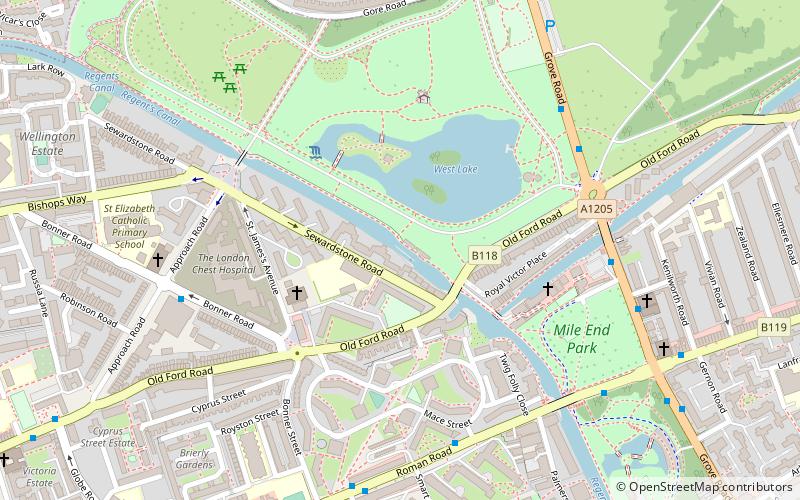
Old Ford Lock is a lock on the Regent's Canal, between Globe Town and Old Ford in the London Borough of Tower Hamlets. ()
Coordinates: 51°31'57"N, 0°2'44"W
Address
Tower Hamlets (Bow West)London
ContactAdd
Social media
Add
Day trips
Old Ford Lock – popular in the area (distance from the attraction)
Nearby attractions include: York Hall, Victoria Park, The Guardian Angels Church, The Queen Adelaide.
Frequently Asked Questions (FAQ)
Which popular attractions are close to Old Ford Lock?
Nearby attractions include Blind Beggar and His Dog, London (5 min walk), St Barnabas Bethnal Green, London (7 min walk), Auto Italia South East, London (8 min walk), Lauriston Road Cemetery, London (9 min walk).
How to get to Old Ford Lock by public transport?
The nearest stations to Old Ford Lock:
Bus
Train
Metro
Light rail
Bus
- Smart Street • Lines: D6 (5 min walk)
- Victoria Park • Lines: 277, 425, N277 (5 min walk)
Train
- Cambridge Heath (13 min walk)
- London Fields (21 min walk)
Metro
- Bethnal Green • Lines: Central (14 min walk)
- Mile End • Lines: Central, District, Hammersmith & City (19 min walk)
Light rail
- Bow Church Platform 1 • Lines: S-L (29 min walk)
 Tube
Tube


