Mile End Lock, London
Map

Map

Facts and practical information
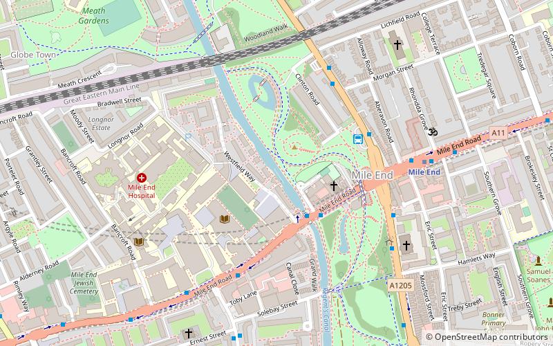
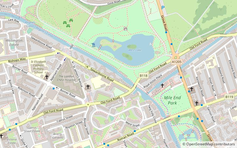
Mile End Lock is a lock on the Regent's Canal, in Mile End, in the London Borough of Tower Hamlets. The lock spans the Regent's Canal between Queen Mary University of London and Mile End Park, and the canal path goes under Mile End Bridge. There is a 19th-century lock keeper's cottage. ()
Coordinates: 51°31'30"N, 0°2'17"W
Address
Tower Hamlets (Mile End and Globe Town)London
ContactAdd
Social media
Add
Day trips
Mile End Lock – popular in the area (distance from the attraction)
Nearby attractions include: York Hall, Victoria Park, The Guardian Angels Church, St Barnabas Bethnal Green.
Frequently Asked Questions (FAQ)
Which popular attractions are close to Mile End Lock?
Nearby attractions include The Guardian Angels Church, London (3 min walk), Mile End Park, London (5 min walk), Meath Gardens, London (6 min walk), Tredegar Square, London (8 min walk).
How to get to Mile End Lock by public transport?
The nearest stations to Mile End Lock:
Bus
Metro
Light rail
Train
Bus
- Mile End Station / Mile End Road • Lines: 277, 425, D6, N277 (4 min walk)
- Lichfield Road • Lines: 277, 425, D6, N277 (4 min walk)
Metro
- Mile End • Lines: Central, District, Hammersmith & City (6 min walk)
- Stepney Green • Lines: District, Hammersmith & City (12 min walk)
Light rail
- Bow Church Platform 1 • Lines: S-L (20 min walk)
- Limehouse Platform 3 • Lines: B-L, B-Wa, Tg-B (23 min walk)
Train
- Limehouse (22 min walk)
- Bethnal Green (24 min walk)

 Tube
Tube


