St Barnabas Bethnal Green, London
Map

Gallery

Facts and practical information
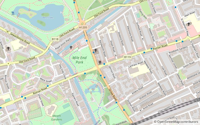
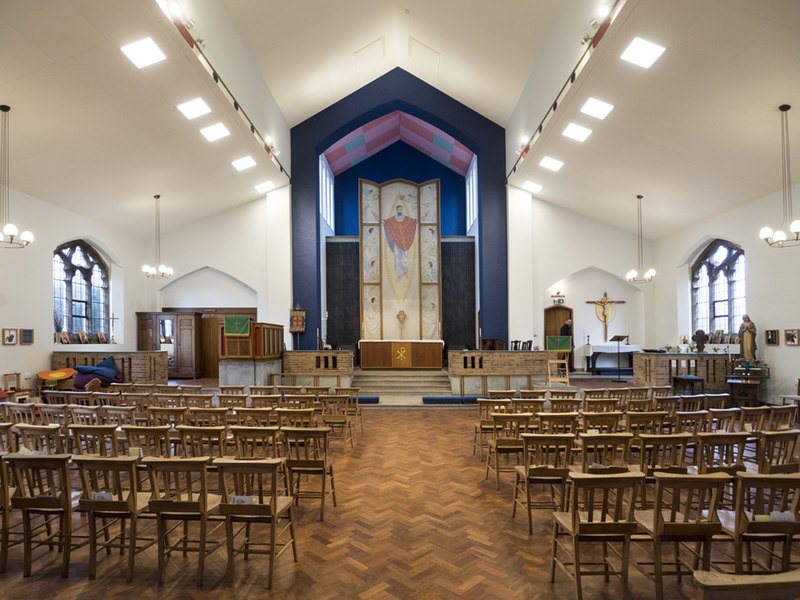
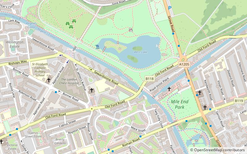
St Barnabas Bethnal Green is a late 19th-century church in Bow in London, England. It is an Anglican church in the Diocese of London. The church is at the junction of Roman Road and Grove Road in the Bow West ward of London Borough of Tower Hamlets. ()
Coordinates: 51°31'52"N, 0°2'24"W
Address
Grove RoadTower Hamlets (Bow West)London
Contact
+44 20 8983 3426
Social media
Add
Day trips
St Barnabas Bethnal Green – popular in the area (distance from the attraction)
Nearby attractions include: York Hall, Victoria Park, The Guardian Angels Church, The Queen Adelaide.
Frequently Asked Questions (FAQ)
Which popular attractions are close to St Barnabas Bethnal Green?
Nearby attractions include Blind Beggar and His Dog, London (6 min walk), Meath Gardens, London (7 min walk), Old Ford Lock, London (7 min walk), Baroness Burdett Coutts Drinking Fountain, London (11 min walk).
How to get to St Barnabas Bethnal Green by public transport?
The nearest stations to St Barnabas Bethnal Green:
Bus
Metro
Train
Light rail
Bus
- Roman Road • Lines: 277, 425, N277 (2 min walk)
- St Barnabas Church • Lines: 277, 425, D6, N277 (2 min walk)
Metro
- Mile End • Lines: Central, District, Hammersmith & City (13 min walk)
- Bethnal Green • Lines: Central (18 min walk)
Train
- Cambridge Heath (20 min walk)
- Bethnal Green (25 min walk)
Light rail
- Bow Church Platform 1 • Lines: S-L (22 min walk)
- Pudding Mill Lane Platform 2 • Lines: S-L (29 min walk)

 Tube
Tube


