Newport: Neighbourhood
Places and attractions in the Neighbourhood category
Categories
- Bridge
- Museum
- Shopping
- Park
- Church
- Archaeological museum
- Nightlife
- Forts and castles
- Sport venue
- Sport
- Arenas and stadiums
- Neighbourhood
Pillgwenlly
Pillgwenlly, usually known as Pill, is an electoral district and coterminous community parish in the city of Newport, South Wales. The area is governed by the Newport City Council.
Coldra
Coldra is an area within the electoral ward of Ringland, Newport, Wales. It lies between The Coldra Roundabout and Ringland, Newport.
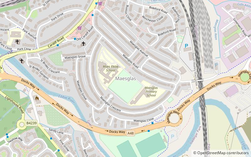
Maesglas
Maesglas or Maes-glas is a neighbourhood in the south west of the city of Newport, South Wales. In the 16th century it was recorded as Greenfield but the Welsh language name Maesglas has remained the more widely used, among English speakers.
Glan Llyn
Glan Llyn is the name of a mixed-use community development, in the east of Newport, south Wales on the heavy end of the former Llanwern steelworks, at the edge of the Caldicot Moors.
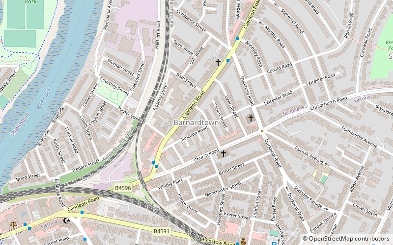
Barnardtown
Barnardtown is a small area to the east of Newport Bridge in the city of Newport. It is roughly bounded by Duckpool Road, Church Road and Caerleon Road. It lies within the electoral ward of Saint Julian's and to the west is Riverside.
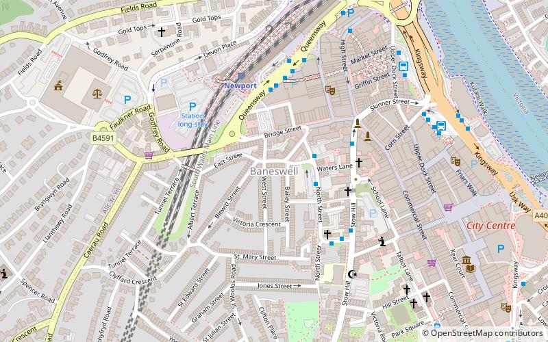
Baneswell
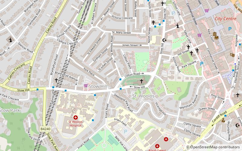
Baneswell is an inner-city district in the city of Newport, South Wales. It is in the electoral ward of Stow Hill, and located next to the city centre and Newport railway station.
Crindau
Crindau is an older inner-city area just north of the city centre in Newport in south-east Wales. It lies within the Shaftesbury electoral district and community. Crindau is roughly bounded by the Monmouthshire canal to the west, the M4 motorway to the north, River Usk to the east and South Wales Main Line to the south.
Level of Mendalgief
The Level of Mendalgief is a small area to the south west of the city centre of the city of Newport in the Pill ward. The level is bounded by Cardiff Road to the north, Mendalgief Road to the east, Docks Way to the south and the Great Western Main Line to the west.
Hollybush
Hollybush is a residential area of Malpas within the city of Newport, South Wales, United Kingdom.
Newport Built-up area
The Newport Built-up area is an area of land defined by the United Kingdom Office for National Statistics for population monitoring purposes. It is an urban conurbation and is not coterminous with the city boundaries.
Bulmore
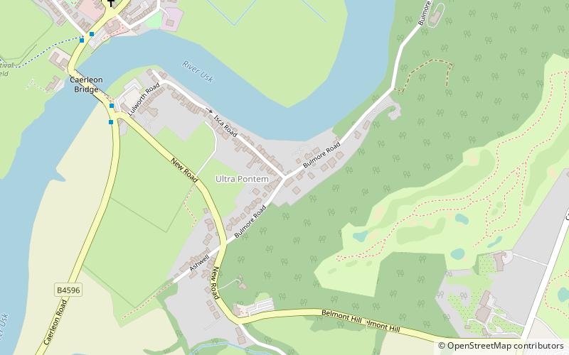
Bulmore or Bullmoor is the name give to a hamlet or cluster of houses in the south-east of Caerleon ward of the city of Newport, South Wales. The name is derived from the Welsh Y Pwll Mawr meaning The Large Pool.
Cat's Ash
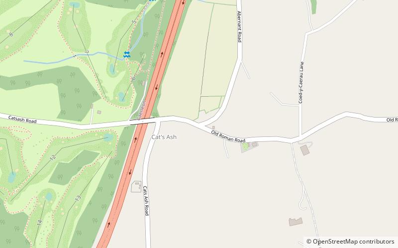
Cat's Ash is a small hamlet to the east of the city centre of the city of Newport, South East Wales. The placename in both English and Welsh refers to ash trees. The Usk Valley Walk passes close by.
Cwm Silicon
Cwm Silicon is an epithet applied to a region of South Wales in the far west of Newport that attracted interest and inward investment from the technology sector in the early 2000s.
Bassaleg
Bassaleg is a suburb on the west side of Newport, Wales. It is in the Graig electoral ward and community.Bassaleg is located two miles northwest of Newport city centre. Bassaleg is bounded by the A467 road to the east, the railway spur to Lower Machen to the north, the St Mellons Road to the south and Rhiwderin to the east.
Bettws
Bettws is a large modern housing estate, electoral ward and coterminous community of the city of Newport, South Wales.
Maindee
Maindee is a large inner-city commercial and residential area in the city of Newport, South Wales. It lies on the eastern side of the River Usk, mostly within the electoral district of Victoria, although some areas traditionally associated with Maindee are in the Beechwood ward.
Duffryn
Duffryn is a large housing estate in the southwest of the city of Newport, south Wales comprising a large portion of the Tredegar Park electoral district.
Barrack Hill
Barrack Hill is an area in Newport, Wales, in the suburb and electoral ward and coterminous community parish of Allt-yr-yn. It is most well known for its canal paths and most prominently the Raglan Barracks which sits on the top of the hill.
Ridgeway
Ridgeway is an area in Newport, Wales, in the electoral ward and community of Allt-yr-yn. It is well known for its ridge which overlooks Rogerstone and the nearby woodland areas. Ridgeway is at the end of the estate the main road breaks off onto the M4 motorway.
Bishpool
Bishpool is a suburb within the electoral ward of Ringland, Newport. It lies to the western side of Ringland. Its facilities include Bishpool Methodist Church, Bishpool Dairy, and The Man of Gwent. With modern housing, it has a population of 400.
Map


