Wapping Hydraulic Power Station, London
Map

Gallery

Facts and practical information
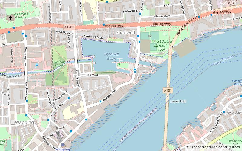
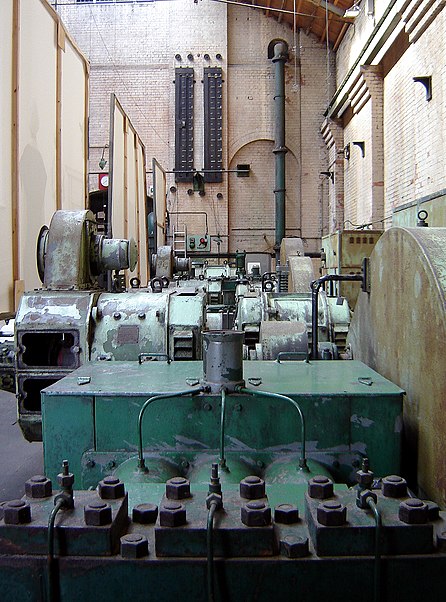
The Wapping Hydraulic Power Station was originally run by the London Hydraulic Power Company in Wapping, London, England. Originally, it operated using steam, and was later converted to use electricity. It was used to power machinery, including lifts, across London. The Tower Subway was used to transfer the power, and steam, to districts south of the river. ()
Coordinates: 51°30'27"N, 0°3'7"W
Address
Wapping Hydraulic Power StationTower Hamlets (St. Katharine's and Wapping)London E1W 3ST
Contact
Social media
Add
Day trips
Wapping Hydraulic Power Station – popular in the area (distance from the attraction)
Nearby attractions include: St. Katharine Docks, Limehouse Basin, Tobacco Dock, The Grapes.
Frequently Asked Questions (FAQ)
Which popular attractions are close to Wapping Hydraulic Power Station?
Nearby attractions include St Paul's Shadwell, London (4 min walk), King Edward Memorial Park, London (5 min walk), Wapping Wall, London (5 min walk), Tobacco Dock, London (9 min walk).
How to get to Wapping Hydraulic Power Station by public transport?
The nearest stations to Wapping Hydraulic Power Station:
Train
Light rail
Bus
Metro
Ferry
Train
- Wapping (8 min walk)
- Shadwell (9 min walk)
Light rail
- Shadwell Platform 1 • Lines: B-L, B-Wa, Tg-B (9 min walk)
- Limehouse Platform 3 • Lines: B-L, B-Wa, Tg-B (17 min walk)
Bus
- Canada Water Bus Station (17 min walk)
- Cavell Street • Lines: 106 (21 min walk)
Metro
- Canada Water • Lines: Jubilee (17 min walk)
- Bermondsey • Lines: Jubilee (22 min walk)
Ferry
- Doubletree Docklands Nelson Dock • Lines: Rb4 (23 min walk)
- Saint Katharine's Pier • Lines: Blue Tour, Green Tour (24 min walk)

 Tube
Tube


